India–Myanmar border, International border between India and Myanmar
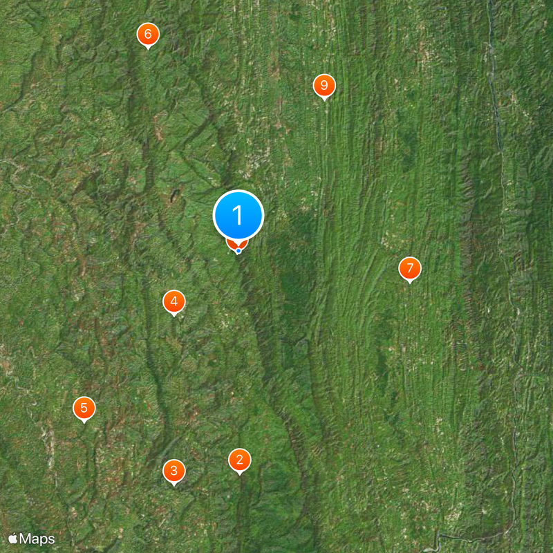
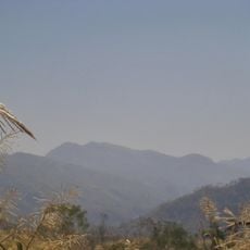
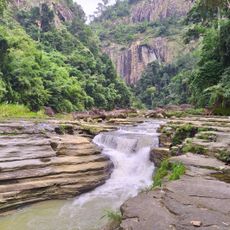
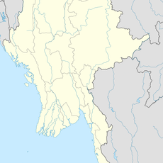
The border between India and Myanmar runs for 1,643 kilometers across mountainous terrain, forested valleys, and river courses that connect both nations from north to south. The line crosses four Indian states and touches different geographic zones with varying climatic conditions.
British colonial administrators established this border during the 19th century following several military confrontations, with treaties from 1826 and later defining the precise line. Both independent states inherited this demarcation after the end of the colonial period and adjusted some sections through bilateral agreements.
Communities on both sides often speak the same languages and visit each other for religious festivals and family gatherings. Local markets in the border towns offer goods from both countries, allowing visitors to experience the connections between neighbors directly.
Travelers should note that only certain crossings like Moreh and Zorinpui are open for regular border traffic and additional permits may be required. Reaching these remote areas takes several hours from larger cities and often requires a combination of bus and local transport.
Local agreements allow people in a strip of 16 kilometers on each side of the border to travel to the neighbors without standard visas or passports. This arrangement makes everyday life easier for families who have lived and worked in this zone for generations.
The community of curious travelers
AroundUs brings together thousands of curated places, local tips, and hidden gems, enriched daily by 60,000 contributors worldwide.