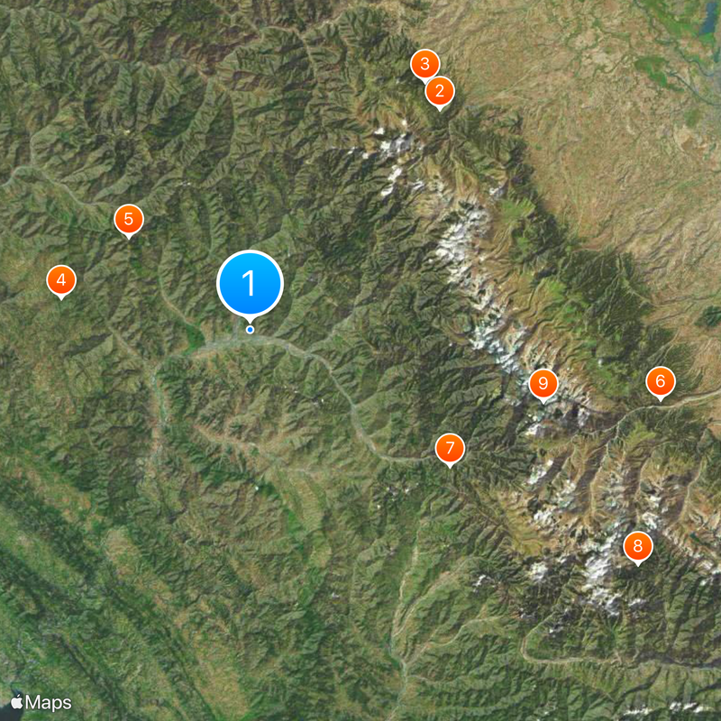
Poonch district, Administrative district in Jammu division, India.
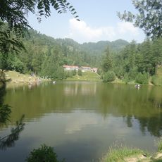
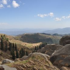
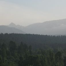
Poonch is an administrative district in the Jammu region covering around 1,674 square kilometers of terrain. The landscape is framed by the Line of Control on three sides and dominated by the Pir Panjal mountain range.
The region underwent major territorial changes during the 1947-48 conflict, when the original area was divided between India and Pakistan. This partition continues to define the district's borders and geopolitical position today.
Multiple languages fill daily conversations here, including Gojri, Dogri, Hindi, Urdu, and Pahari. The Gujar, Bakerwal, and Pahari communities practice their own customs and shape the rhythm of village life throughout the region.
The district is divided into six administrative subdivisions: Haveli, Mandi, Mendhar, Surankote, Mankote, and Balakote, each managed by a local Tehsildar officer. This structure helps visitors understand how local administration operates across different areas.
The region has an inactive airstrip operated by the Indian Army. It is also linked to Kashmir Valley by the historic Mughal Road, a route spanning roughly 133 kilometers that carries both military and civilian traffic.
The community of curious travelers
AroundUs brings together thousands of curated places, local tips, and hidden gems, enriched daily by 60,000 contributors worldwide.