Log in to your account

AroundUs is a community-driven map of interesting places, built by curious explorers like you. It grows with every review, story, and photo you share.
Connect to save your favorite spots, contribute locations, and create personalized routes.
Continue with Google
Continue with Apple
Continue with X
Continue with Facebook
Continue with email
By continuing, you accept our Terms and Conditions and our Privacy Policy
Create an account

Dantan I community development block

Add to collection
Map
Suggest a change
Share

Dantan I community development block, Administrative subdivision in Kharagpur, India.

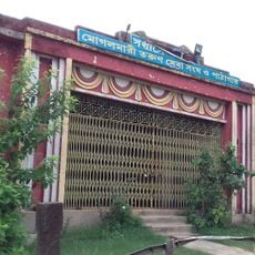
Dantan I is an administrative division in Kharagpur built on flat rice lands crossed by streams and tidal waterways. Most villages have electricity and drinking water access, with agricultural stores scattered throughout where farmers and residents gather for supplies and daily commerce.

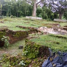
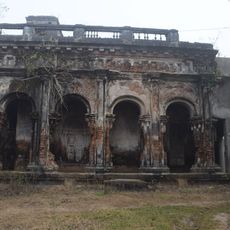
This area was once called Dandabhukti and served as a territorial unit during the Gupta Empire. It later fell under the rule of the Hijli Kingdom, which shaped its political development.

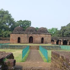
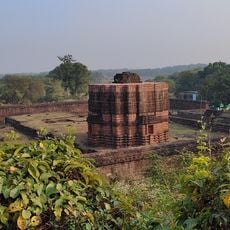
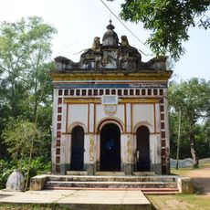
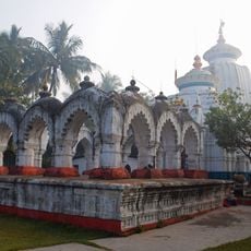
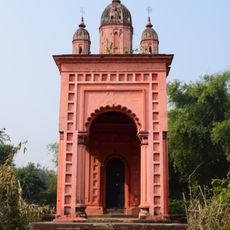
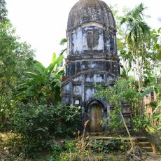
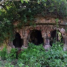
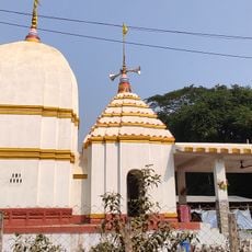
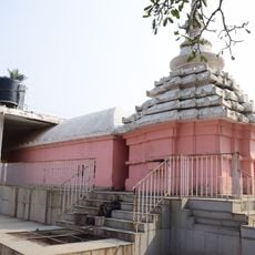
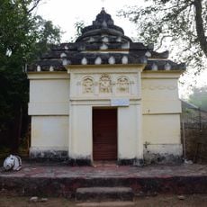
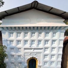
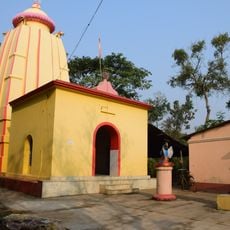
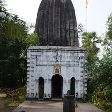
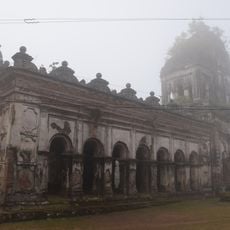
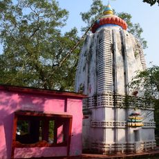
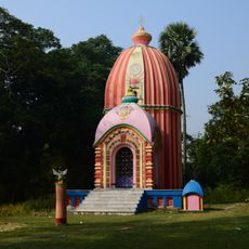
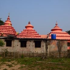
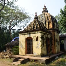
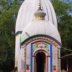
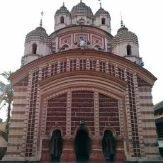
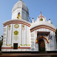
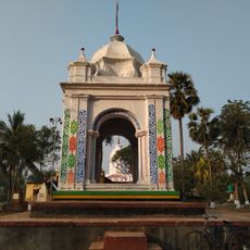
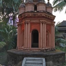
Three temples built in the 1800s display the curved rekha architectural style that locals developed over generations. The Jagannath Temple, Shyamaleswar Temple, and Chandaneswar Temple remain active places of worship where visitors can observe traditional religious gatherings and local stone carving techniques.

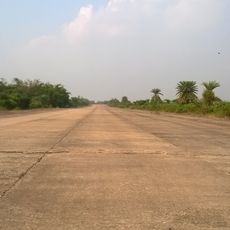
The area is easily accessible by car or bus since most villages are connected by basic roads. Visitors should plan their visit during drier months when waterways are easier to navigate and cross.

The Subarnarekha River flows through this administrative block creating a natural boundary between regions. On cultivated lands here, farmers grow multiple crops in a single year, adapting their planting cycles to seasonal water patterns.

Location: Kharagpur subdivision

Elevation above the sea: 19 m

Shares border with: Nayagram community development block, Keshiari community development block, Narayangarh community development block, Dantan II community development block, Mohanpur community development block

GPS coordinates: 21.91100,87.27000

Latest update: December 10, 2025 20:09

Photos
Reviews

Visited this place? Tap the stars to rate it and share your experience / photos with the community! Try now! You can cancel it anytime.

« Dantan I community development block - Administrative subdivision in Kharagpur, India » is provided by Around Us (aroundus.com). Images and texts are derived from Wikimedia project under a Creative Commons license. You are allowed to copy, distribute, and modify copies of this page, under the conditions set by the license, as long as this note is clearly visible.

Discover hidden gems everywhere you go!

From secret cafés to breathtaking viewpoints, skip the crowded tourist spots and find places that match your style. Our app makes it easy with voice search, smart filtering, route optimization, and insider tips from travelers worldwide. Download now for the complete mobile experience.

Around Us App Screenshot

A unique approach to discovering new places

Le Figaro

All the places worth exploring

France Info

A tailor-made excursion in just a few clicks

20 Minutes