Enable Location

We need your location to show you interesting places around you

Discover nearby places

Find interesting locations and hidden gems around you

Precise directions

Get accurate directions and distances to places

Your location is never shared with other users. It's only used when you tap the location button.

Log in to your account

Start exploring — it's free

Trusted by 61,324 travelers worldwide

Continue with Google
Continue with Apple
or

We will send you a code to connect

By continuing, you accept our Terms and Conditions and our Privacy Policy

Check your inbox

We've sent a pincode in your inbox. Please enter the code below.

Chanditala II community development block

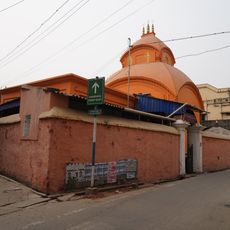
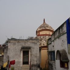
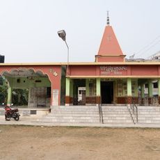
Chanditala II community development block, Community development block in Srirampore subdivision, India

Description

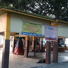
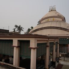
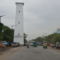
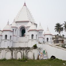
Chanditala II is an administrative block in Srirampore subdivision covering rural areas with villages and small settlements spread across the region. The landscape is relatively flat with schools and basic facilities distributed throughout to serve the communities.

History

The block came into being after India's independence as part of efforts to strengthen rural development and local self-governance. Administrative divisions like this were created to give communities greater control over their own affairs.

Culture

The area holds deep ties to Bengali traditions, especially through textile craftsmanship passed down through generations. You can see these techniques woven into the daily life and local economy of the communities.

Practical

The area is sparsely populated, so transportation connections are limited and travel takes patience and planning. It's helpful to gather information about local conditions and available transport options before heading out.

Did you know?

The hand-woven saris of this region are known for their bright colors and detailed embroidered patterns created using time-honored techniques. These textiles are locally produced and represent a craft tradition that has remained largely unchanged for generations.

Elevation above the sea
6 m
Shares border with
Sreerampur-Uttarpara community development block, Chanditala I community development block, Singur community development block, Domjur community development block, Bally Jagachha community development block
GPS coordinates
22.69218,88.25977
Latest update
December 11, 2025 18:05

AroundUs brings together thousands of curated places, local tips, and hidden gems, enriched daily by 60,000 contributors worldwide. Discover all places nearby (Srirampore subdivision).

« Chanditala II community development block - Community development block in Srirampore subdivision, India » is provided by Around Us (aroundus.com). Images and texts are derived from Wikimedia project under a Creative Commons license. You are allowed to copy, distribute, and modify copies of this page, under the conditions set by the license, as long as this note is clearly visible.

Discover hidden gems everywhere you go!

From secret cafés to breathtaking viewpoints, skip the crowded tourist spots and find places that match your style. Our app makes it easy with voice search, smart filtering, route optimization, and insider tips from travelers worldwide. Download now for the complete mobile experience.

Around Us App Screenshot

A unique approach to discovering new places

Le Figaro

All the places worth exploring

France Info

A tailor-made excursion in just a few clicks

20 Minutes

Around Us
Travel Guide & Maps
Download

Send to your phone

QR Code
1

Open the camera app on your mobile.

2

Point at the QR code with your camera. A notification will appear.

3

Tap the notification to open the link.