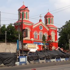
Geography of Kolkata, Kolkata
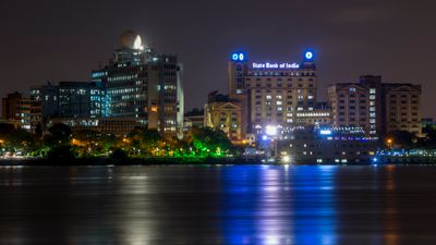
The geography of Kolkata is defined by its position on the Hugli River, a branch of the Ganges that flows through the city and has shaped its growth for centuries. The land is mostly flat and sits in a deltaic region, making it prone to flooding and waterlogging during heavy rains.
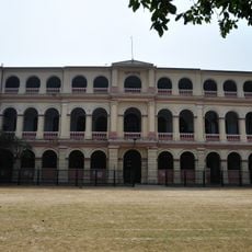
The city grew at a strategic location on a navigable stretch of river that allowed early European traders to settle and made it a hub of British trade networks. The flat topography supported the city's expansion during colonial times and shaped its linear layout along the water.
The best time to explore is during the dry season from October to March, when streets are less waterlogged and travel is easier throughout the city. During the monsoon season from June to September, flooding can make many areas inaccessible and disrupt local transportation.
The city sits on unstable ground that is slowly subsiding, making drainage more difficult and creating long-term infrastructure challenges. This factor has been critical in planning modern structures and shapes how the city adapts and develops.
The community of curious travelers
AroundUs brings together thousands of curated places, local tips, and hidden gems, enriched daily by 60,000 contributors worldwide.