Enable Location

We need your location to show you interesting places around you

Discover nearby places

Find interesting locations and hidden gems around you

Precise directions

Get accurate directions and distances to places

Your location is never shared with other users. It's only used when you tap the location button.

Log in to your account

Start exploring — it's free

Trusted by 62,532 travelers worldwide

Continue with Google
Continue with Apple
or

We will send you a code to connect

By continuing, you accept our Terms and Conditions and our Privacy Policy

Check your inbox

We've sent a pincode in your inbox. Please enter the code below.

Haringhata community development block

Haringhata community development block, Administrative block in Kalyani subdivision, India.

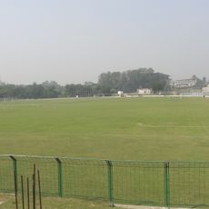
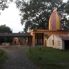
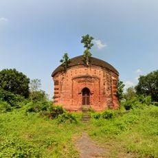
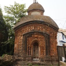
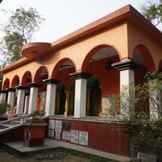
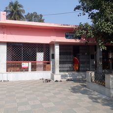
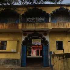
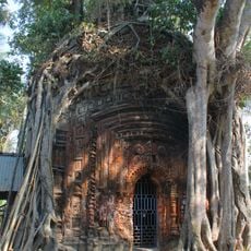
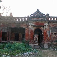
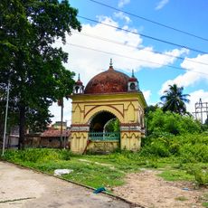
Haringhata is an administrative block in Kalyani subdivision, comprising 82 villages spread across a rural landscape. Local governance functions through a system of panchayat bodies that handle village-level administration and development matters.

The block was established in the post-independence period as India developed its rural administrative framework. It was designed to manage growth and provide organized services to dispersed village populations.

Agricultural traditions shape daily life here, passed down through generations of farming families. Bengali is spoken throughout the region and forms the backbone of local communication and identity.

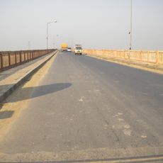
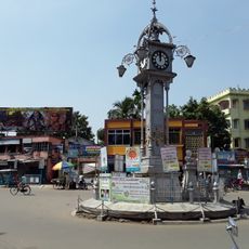
The area is best reached via road routes, including National Highway 12 which connects the block headquarters at Subarnapur to broader networks. Plan your visit with the understanding that this is rural terrain with scattered settlements.

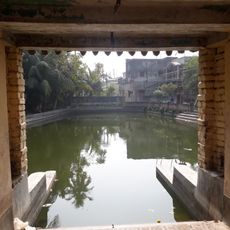
The block faces groundwater arsenic contamination, a challenge that shapes local development efforts and planning priorities. Despite this issue, systematic programs work to support households affected by water quality concerns.

The community of curious travelers

AroundUs brings together thousands of curated places, local tips, and hidden gems, enriched daily by 60,000 contributors worldwide.

Start exploring
Elevation above the sea
13 m
GPS coordinates
22.95389,88.56371
Latest update
December 11, 2025 18:06
« Haringhata community development block - Administrative block in Kalyani subdivision, India » is provided by Around Us (aroundus.com). Images and texts are derived from Wikimedia project under a Creative Commons license. You are allowed to copy, distribute, and modify copies of this page, under the conditions set by the license, as long as this note is clearly visible.

Discover hidden gems everywhere you go!

From secret cafés to breathtaking viewpoints, skip the crowded tourist spots and find places that match your style. Our app makes it easy with voice search, smart filtering, route optimization, and insider tips from travelers worldwide. Download now for the complete mobile experience.

Around Us App Screenshot

A unique approach to discovering new places

Le Figaro

All the places worth exploring

France Info

A tailor-made excursion in just a few clicks

20 Minutes

Around Us
Travel Guide & Maps
Download

Send to your phone

QR Code
1

Open the camera app on your mobile.

2

Point at the QR code with your camera. A notification will appear.

3

Tap the notification to open the link.