Enable Location

We need your location to show you interesting places around you

Discover nearby places

Find interesting locations and hidden gems around you

Precise directions

Get accurate directions and distances to places

Your location is never shared with other users. It's only used when you tap the location button.

Log in to your account

Start exploring — it's free

Trusted by 62,561 travelers worldwide

Continue with Google
Continue with Apple
or

We will send you a code to connect

By continuing, you accept our Terms and Conditions and our Privacy Policy

Check your inbox

We've sent a pincode in your inbox. Please enter the code below.

Nandakumar community development block

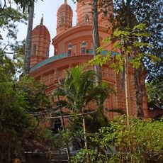
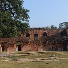
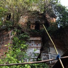
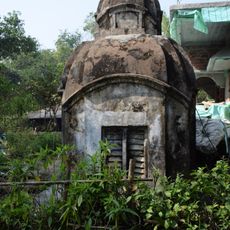
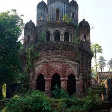
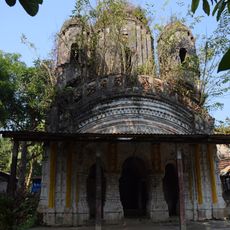
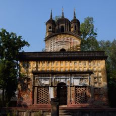
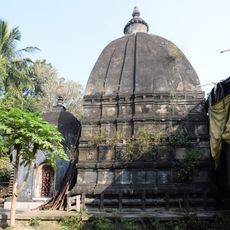
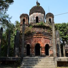
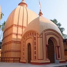
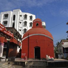
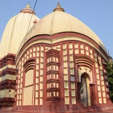
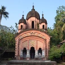
Nandakumar community development block, Community development block in Tamluk subdivision, India

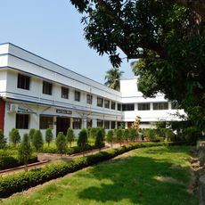
Nandakumar is a community development block in the Tamluk subdivision comprising around a hundred villages spread across a flat rural landscape. The area is primarily shaped by rice cultivation and fish farming, with numerous irrigation channels and water bodies that define its character.

The block was established as an administrative unit in West Bengal to support development and management of this rural region. Population has grown steadily over recent decades, reflecting expansion in this part of Purba Medinipur district.

Bengali serves as the primary language for 99.81 percent of residents, with Hinduism practiced by 87.64 percent and Islam by 12.24 percent of inhabitants.

The region is best accessed by local transport or private vehicles since it is a sparsely settled area with scattered villages. During the rainy season, some roads may flood, so it is advisable to check local conditions before longer journeys.

The area produces 32,707 tonnes of Boro paddy annually from 9,327 hectares, while 712.50 hectares are dedicated to fish farming operations.

The community of curious travelers

AroundUs brings together thousands of curated places, local tips, and hidden gems, enriched daily by 60,000 contributors worldwide.

Start exploring
Elevation above the sea
4 m
Shares border with
Tamluk community development block, Moyna community development block, Chandipur community development block, Mahishadal community development block, Shyampur I community development block
GPS coordinates
22.19631,87.92075
Latest update
December 11, 2025 11:09
« Nandakumar community development block - Community development block in Tamluk subdivision, India » is provided by Around Us (aroundus.com). Images and texts are derived from Wikimedia project under a Creative Commons license. You are allowed to copy, distribute, and modify copies of this page, under the conditions set by the license, as long as this note is clearly visible.

Discover hidden gems everywhere you go!

From secret cafés to breathtaking viewpoints, skip the crowded tourist spots and find places that match your style. Our app makes it easy with voice search, smart filtering, route optimization, and insider tips from travelers worldwide. Download now for the complete mobile experience.

Around Us App Screenshot

A unique approach to discovering new places

Le Figaro

All the places worth exploring

France Info

A tailor-made excursion in just a few clicks

20 Minutes

Around Us
Travel Guide & Maps
Download

Send to your phone

QR Code
1

Open the camera app on your mobile.

2

Point at the QR code with your camera. A notification will appear.

3

Tap the notification to open the link.