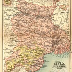
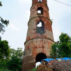
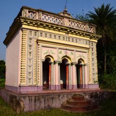
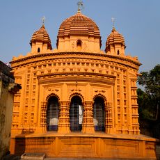
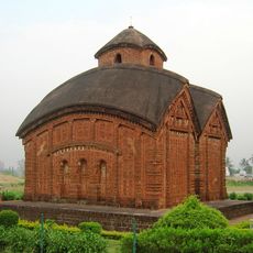
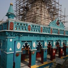
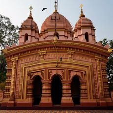
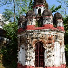
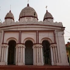
Mejia community development block, Community development block in Bankura district, India.
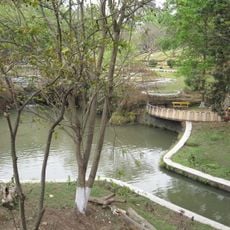
Mejia is a community development block in Bankura district spanning over 162 square kilometers of undulating landscape. The terrain features hills and ridges that descend from the Chota Nagpur Plateau toward lower areas.
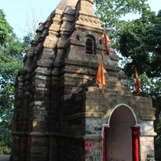
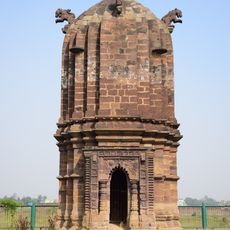
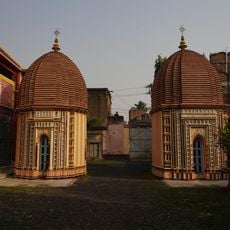
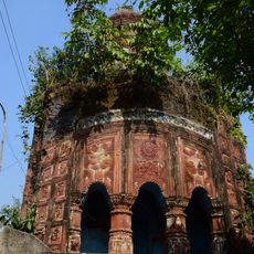
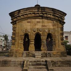
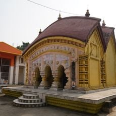
The region came under the rule of Hindu Rajas of Bishnupur from the 7th century until 1760, when British administration took over. This transition brought significant changes to how the territory was governed.
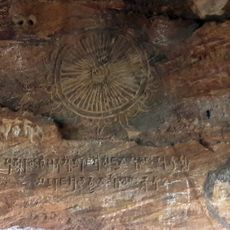
Residents speak Bengali and Santali languages, and farming traditions continue to shape how people organize their daily routines and community gatherings. These customs remain visible in the agricultural calendar that governs the rhythm of village life.
National Highway 14 runs through the block, connecting 72 villages and serving as a major transport route for agricultural and industrial products. This highway makes movement across the region relatively straightforward for visitors and commerce alike.
The block sits above substantial coal deposits within the Raniganj formation, which fuel thermal power stations and cement manufacturing in the area. These resources have shaped much of the region's economic activity over recent decades.
Location: Bankura Sadar subdivision
Elevation above the sea: 77 m
Shares border with: Saltora community development block, Gangajalghati community development block, Barjora community development block, Faridpur-Durgapur community development block, Andal community development block, Raniganj community development block
GPS coordinates: 23.57000,87.10000
Latest update: December 12, 2025 07:58
Nehru Park, Burnpur
17.2 km
Ghaghar Burhi temple
15.8 km
Sidhu Kanu Indoor Stadium
19.8 km
Shaheed Bhagat Singh Stadium
21.3 km
Samantabhum
32.2 km
Шушуния тавында мәгарә гыйбадәтханәсе
23.5 km
Garh Panchakot Pancharatna temple
34 km
Radhamadhab temple of Sarkar family
15.4 km
Chhatna semaphore tower
31.8 km
Gopinathjiu temple of Handa family
16.9 km
Rock Inscription of Chandra Varman
23 km
Shiva Rekha Deul temple
20.2 km
Rarheswar Shiva temple
29.1 km
Radha Damodar Jiu temple
21.7 km
Twin Shiva temple of Handa family
16.9 km
Pancharatna temple of Ghorui family
23.2 km
Bishnu temple
23.1 km
Adi Kalyaneswari temple
34.1 km
Arra semaphore tower
32.5 km
Raghunath temple of Choubey family
22.6 km
Narugopal temple
22.2 km
Lakshminrayan temple of Sarakar family Mejotaraf
15.3 km
BK-1
18.4 km
Temples in Bishnupur
29.8 km
Madangopal temple
19.5 km
Sita-Rama temple of Handa family
16.9 km
Beliatore Rasmancha
30.7 km
Rasmancha of Radhamadhab temple of Sarkar family
15.4 kmVisited this place? Tap the stars to rate it and share your experience / photos with the community! Try now! You can cancel it anytime.
Discover hidden gems everywhere you go!
From secret cafés to breathtaking viewpoints, skip the crowded tourist spots and find places that match your style. Our app makes it easy with voice search, smart filtering, route optimization, and insider tips from travelers worldwide. Download now for the complete mobile experience.
A unique approach to discovering new places❞
— Le Figaro
All the places worth exploring❞
— France Info
A tailor-made excursion in just a few clicks❞
— 20 Minutes