Enable Location

We need your location to show you interesting places around you

Discover nearby places

Find interesting locations and hidden gems around you

Precise directions

Get accurate directions and distances to places

Your location is never shared with other users. It's only used when you tap the location button.

Log in to your account

Start exploring — it's free

Trusted by 68,051 travelers worldwide

Continue with Google
Continue with Apple
or

We will send you a code to connect

By continuing, you accept our Terms and Conditions and our Privacy Policy

Check your inbox

We've sent a pincode in your inbox. Please enter the code below.

Nayagram community development block
Discussion Reviews Photo
3.9k Popularity

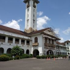
Nayagram community development block, Community development block in Jhargram subdivision, West Bengal, India.

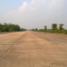
Nayagram is an administrative block in Jhargram with multiple rural settlements distributed across gently sloping terrain. The area contains schools at different levels, a government college, and health facilities that serve the local communities.

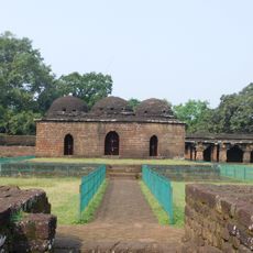
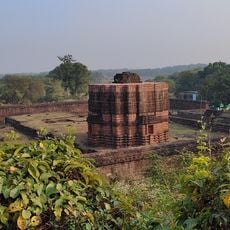
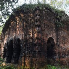
The area was historically divided into three parganas along the Subarnarekha river before British annexation in 1803. This takeover reshaped the administrative structure and influenced how the region developed over the following centuries.

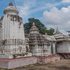
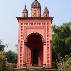
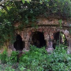
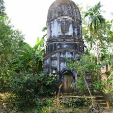
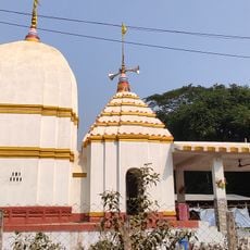
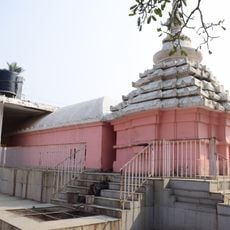
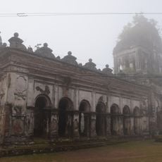
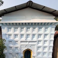
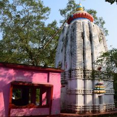
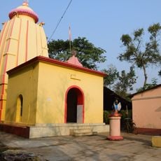
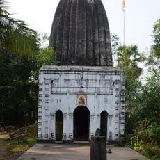
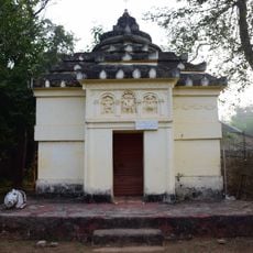
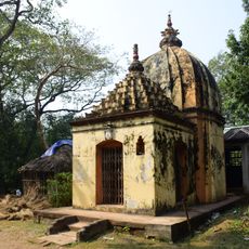
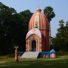
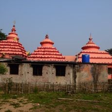
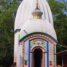
Hinduism shapes the daily religious life here, though Christianity, Islam, and traditional beliefs also have a presence in the communities. You can observe how different faiths coexist and influence local traditions and celebrations throughout the year.

To explore the block effectively, focus on the villages and use local roads to visit different settlements scattered across the terrain. Medical facilities are spread throughout, so it helps to know their locations if you need assistance during your visit.

The terrain slopes gradually from the Chota Nagpur Plateau with lateritic soils that shape local farming methods. This geological feature creates varying agricultural conditions across different parts of the block.

The community of curious travelers

AroundUs brings together thousands of curated places, local tips, and hidden gems, enriched daily by 60,000 contributors worldwide.

Start exploring
Elevation above the sea
24 m
Shares border with
Gopiballavpur I community development block, Gopiballavpur II community development block, Sankrail community development block, Keshiari community development block, Dantan I community development block
GPS coordinates
22.03190,87.17810
Latest update
December 11, 2025 18:05
Reviews
Share your experience

No review yet

Discussions
Start a discussion...

No discussion yet

« Nayagram community development block - Community development block in Jhargram subdivision, West Bengal, India » is provided by Around Us (aroundus.com). Images and texts are derived from Wikimedia project under a Creative Commons license. You are allowed to copy, distribute, and modify copies of this page, under the conditions set by the license, as long as this note is clearly visible.

Discover hidden gems everywhere you go!

From secret cafés to breathtaking viewpoints, skip the crowded tourist spots and find places that match your style. Our app makes it easy with voice search, smart filtering, route optimization, and insider tips from travelers worldwide. Download now for the complete mobile experience.

Around Us App Screenshot

A unique approach to discovering new places

Le Figaro

All the places worth exploring

France Info

A tailor-made excursion in just a few clicks

20 Minutes

Around Us
Travel Guide & Maps
Download

Send to your phone

QR Code
1

Open the camera app on your mobile.

2

Point at the QR code with your camera. A notification will appear.

3

Tap the notification to open the link.