Kolaghat community development block, Administrative block in Tamluk subdivision, India
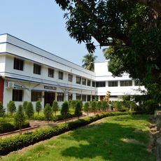
Kolaghat Community Development Block is an administrative region in West Bengal that encompasses 106 villages across approximately 147 square kilometers. The area lies at a low elevation and includes schools at various levels along with engineering colleges serving the local population.
This administrative region was created in 2011 when the state reorganized its boundaries and separated from the former Panskura II Block. The change was part of broader administrative reforms in West Bengal.
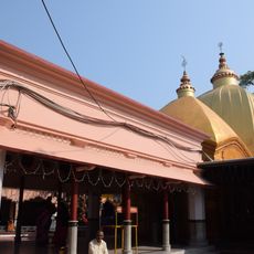
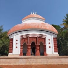
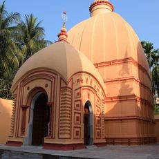
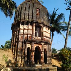
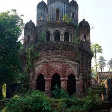
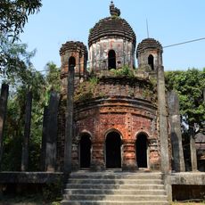
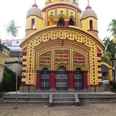
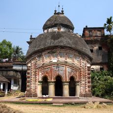
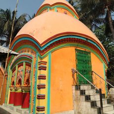
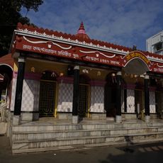
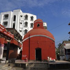
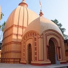
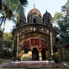
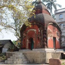
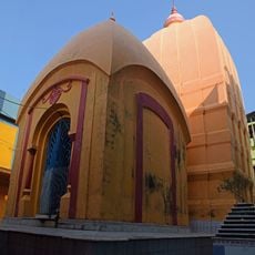
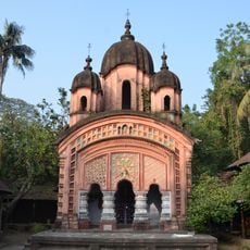
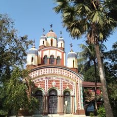
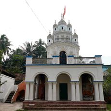
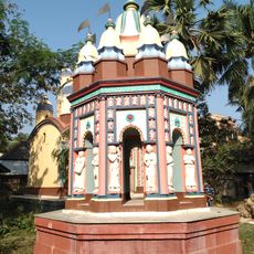
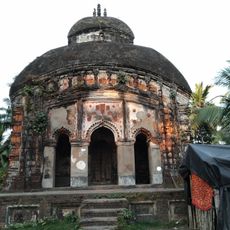
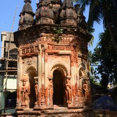
Bengali is spoken by most residents, and you will notice Hindu temples and Muslim gatherings throughout the villages. The local celebrations and daily customs reflect these two main faiths.
The region is low-lying and flat, so visitors should expect wet and humid conditions. Schools and colleges are scattered throughout the villages and generally accessible to those interested in local education facilities.
A thermal power station with six units generates electricity for a large area and is one of the major power facilities operated by the state. This facility plays a significant role in the region's economy and energy production.
Location: Tamluk subdivision
Elevation above the sea: 9 m
Shares border with: Daspur II community development block, Panskura community development block, Tamluk community development block, Sahid Matangini community development block, Bagnan II community development block, Bagnan I community development block
GPS coordinates: 22.43000,87.87000
Latest update: December 11, 2025 18:09
Bargabhima temple
16.5 km
Sarat Chandra Kuthi
6.3 km
Madangopal-jiu Temple
5.5 kmBhavatarini Shmashanpith Kali Temple
16.4 km
Harashankar Shiva temple of Jana family
15.7 km
Radhamadhab temple
15.6 km
Tamluk rajbati
15.6 km
Lakshmi Janardan temple
15.9 km
Shridharjiu temple
12.4 km
Bagnan Ananda Niketan Kirtishala
8.3 km
Lakshmi-Janardan temple
18.1 km
Jishnu Hari temple
16 km
Radha Gobinda temple
12.7 km
Rajrajeshwar temple
17.1 km
Bhubanesvari temple
17.7 km
Krishna Ray Jiu Temple
15.2 km
Dakshina Kali temple
11.3 km
Mrityunjay Shiva temple
5.2 km
Radharaman temple
15.6 km
Krishna Balaram temple of Adhikari family
15.6 km
Khateshwar Shiva Temple
15.3 km
Ramjiu temple
15.9 km
Radha Gobinda temple
14 km
Lakshmi Janardan temple
14.3 km
Radhashyamjiu temple
14.6 km
Rasmancha of Lakshmi Janardan temple
14.3 km
Kshipteshwari temple
14.5 km
Rasmancha of Shridharjiu temple
12.4 kmVisited this place? Tap the stars to rate it and share your experience / photos with the community! Try now! You can cancel it anytime.
Discover hidden gems everywhere you go!
From secret cafés to breathtaking viewpoints, skip the crowded tourist spots and find places that match your style. Our app makes it easy with voice search, smart filtering, route optimization, and insider tips from travelers worldwide. Download now for the complete mobile experience.
A unique approach to discovering new places❞
— Le Figaro
All the places worth exploring❞
— France Info
A tailor-made excursion in just a few clicks❞
— 20 Minutes