Enable Location

We need your location to show you interesting places around you

Discover nearby places

Find interesting locations and hidden gems around you

Precise directions

Get accurate directions and distances to places

Your location is never shared with other users. It's only used when you tap the location button.

Log in to your account

Start exploring — it's free

Trusted by 61,324 travelers worldwide

Continue with Google
Continue with Apple
or

We will send you a code to connect

By continuing, you accept our Terms and Conditions and our Privacy Policy

Check your inbox

We've sent a pincode in your inbox. Please enter the code below.

Sreerampur-Uttarpara community development block

Sreerampur-Uttarpara community development block, Administrative division in Srirampore subdivision, India

Description

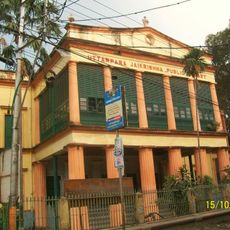
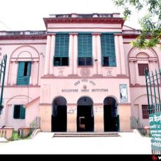
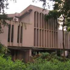
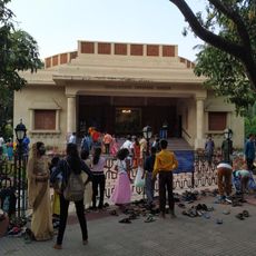
Sreerampur-Uttarpara is an administrative block that runs along the eastern side of the Hooghly River and combines both rural and urban settlements. It has multiple schools at different levels and a college serving the educational needs of the region.

History

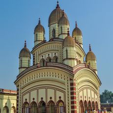
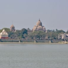
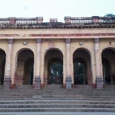
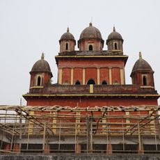
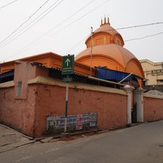
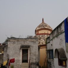
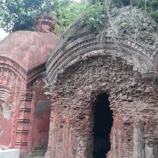
The area came under the influence of several European powers over two centuries, including the Portuguese, Dutch, French, Danish, and British. This foreign presence shaped the economic and industrial development of the region.

Culture

Bengali is spoken by most residents in their daily lives, while a smaller portion speaks Hindi as their primary language. This linguistic mix reflects the diverse communities that have settled in the area over time.

Practical

The area has numerous schools and higher education facilities distributed throughout, making it well-served for education. Visitors can best explore the block by visiting different settlements to experience both rural and urban characteristics of the region.

Did you know?

The region shows a high literacy level overall, though with a notable gap between male and female education attainment. This difference reflects different access patterns to schooling for different segments of the population across the block.

Shares border with
Singur community development block, Chanditala II community development block, Bally Jagachha community development block, Barrackpore II community development block
GPS coordinates
22.70510,88.33540
Latest update
December 12, 2025 09:02

AroundUs brings together thousands of curated places, local tips, and hidden gems, enriched daily by 60,000 contributors worldwide. Discover all places nearby (Srirampore subdivision).

« Sreerampur-Uttarpara community development block - Administrative division in Srirampore subdivision, India » is provided by Around Us (aroundus.com). Images and texts are derived from Wikimedia project under a Creative Commons license. You are allowed to copy, distribute, and modify copies of this page, under the conditions set by the license, as long as this note is clearly visible.

Discover hidden gems everywhere you go!

From secret cafés to breathtaking viewpoints, skip the crowded tourist spots and find places that match your style. Our app makes it easy with voice search, smart filtering, route optimization, and insider tips from travelers worldwide. Download now for the complete mobile experience.

Around Us App Screenshot

A unique approach to discovering new places

Le Figaro

All the places worth exploring

France Info

A tailor-made excursion in just a few clicks

20 Minutes

Around Us
Travel Guide & Maps
Download

Send to your phone

QR Code
1

Open the camera app on your mobile.

2

Point at the QR code with your camera. A notification will appear.

3

Tap the notification to open the link.