Sutahata community development block, Community development block in Haldia subdivision, India.
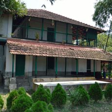
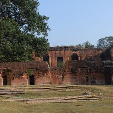
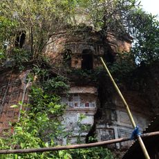
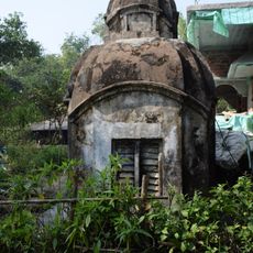
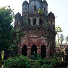
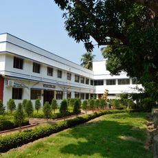
Sutahata is an administrative block in Haldia subdivision characterized by a landscape of river basins, rural settlements, and agricultural areas. The block comprises multiple villages equipped with schools, health facilities, and electrical infrastructure serving the local population.
The area was originally organized as Sutahata I block until administrative reforms restructured a neighboring zone as Sutahata II block. This change shaped the current administrative boundaries of the region.
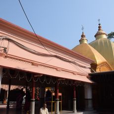
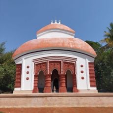
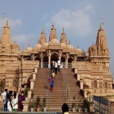
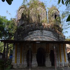
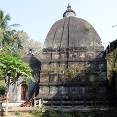
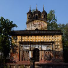
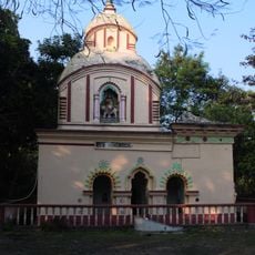
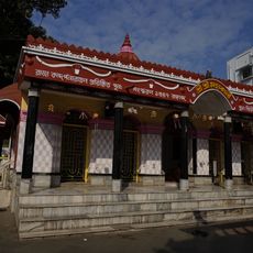
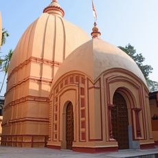
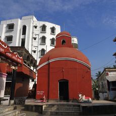
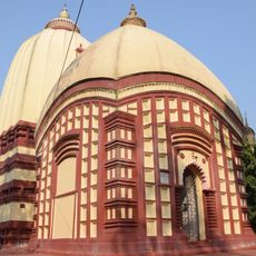
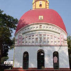
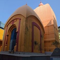
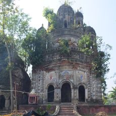
The community celebrates Bengali traditions throughout the year with festivals observed by both Hindu and Muslim residents who share local customs. Visitors can observe how these celebrations shape daily life and bring people together.
The area is well connected by public bus routes, and most settlements have access to electricity and drinking water facilities. Visitors exploring the rural infrastructure will find clinics and schools distributed throughout the block.
The block combines traditional handloom weaving with modern fish farming operations, a blend that few rural areas display so visibly. This economic diversity allows the local population to maintain craft traditions while adopting contemporary agricultural methods.
The community of curious travelers
AroundUs brings together thousands of curated places, local tips, and hidden gems, enriched daily by 60,000 contributors worldwide.