
Thakurpukur Maheshtala community development block
Thakurpukur Maheshtala community development block, Community Development Block in West Bengal, India
Location: Alipore Sadar subdivision
Elevation above the sea: 9 m
Shares border with: Bishnupur I community development block
GPS coordinates: 22.50862,88.25322
Latest update: March 17, 2025 05:36
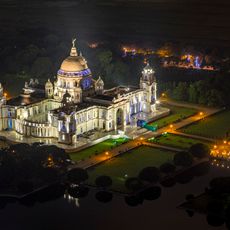
Victoria Memorial
10 km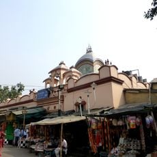
Kalighat Kali Temple
9.2 km
National Library of India
8.7 km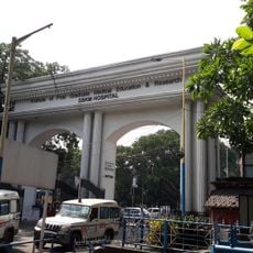
IPGMER and SSKM Hospital
9.6 km
Alipore Zoological Gardens
8.7 km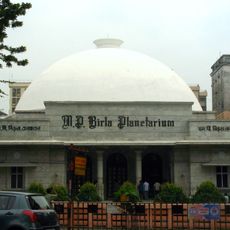
M. P. Birla Planetarium
10.3 km
St. Thomas' School
8.3 km
Rabindra Sadan
10.1 km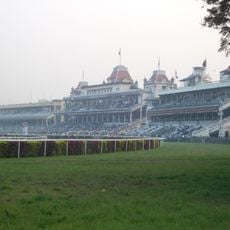
Kolkata Race Course
9.4 km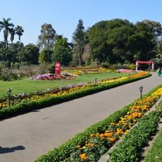
Agri Horticultural Society of India
8.5 km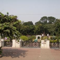
Mohor Kunja
10 km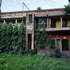
Sabarna Sangrahashala
6.8 km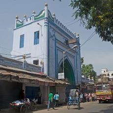
Sibtainabad Imambara
5.5 km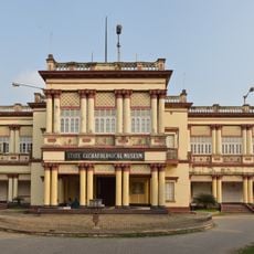
State Archaeological Museum
6.7 km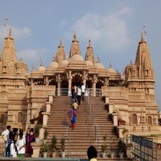
BAPS Shri Swaminarayan Mandir Kolkata
11 km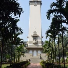
Lascar War Memorial
9.1 km
Pathrakaliamman Temple
9.2 km
Gurusaday Museum
7.9 km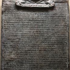
Jagajjivanpur copper-plate inscription of Mahendrapala
6.7 km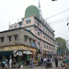
Sola Ana Mosque
7.6 km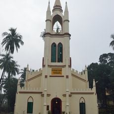
St. Stephen's Church
8.5 km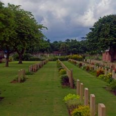
Bhowanipore Cemetery
9.1 km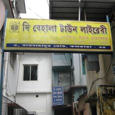
The Behala Town Library
6.8 km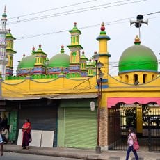
Zohra Begum Mosque
8.9 km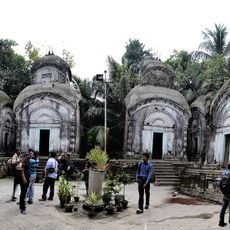
Kamarghat Dwadash Shiva temple
9.2 km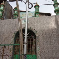
Panjatan Imambara
7.1 km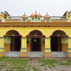
Patitpabani Durga temple
7.3 km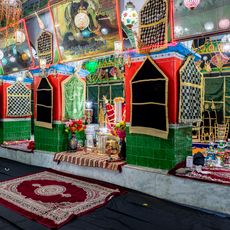
Qasr-ul-buka Imambara
5.8 kmReviews
Visited this place? Tap the stars to rate it and share your experience / photos with the community! Try now! You can cancel it anytime.
Discover hidden gems everywhere you go!
From secret cafés to breathtaking viewpoints, skip the crowded tourist spots and find places that match your style. Our app makes it easy with voice search, smart filtering, route optimization, and insider tips from travelers worldwide. Download now for the complete mobile experience.

A unique approach to discovering new places❞
— Le Figaro
All the places worth exploring❞
— France Info
A tailor-made excursion in just a few clicks❞
— 20 Minutes