
Nathavaram mandal, mandal in Anakapalli district, Andhra Pradesh, India
Location: Anakapalli district
Capital city: Nathavaram
GPS coordinates: 17.56900,82.49300
Latest update: May 29, 2025 00:53
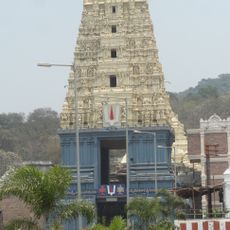
Simhachalam Temple
83.3 km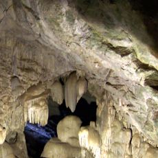
Borra Caves
85.5 km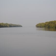
Coringa Wildlife Sanctuary
83.8 km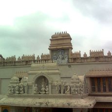
Annavaram Satyanarayana Temple
33.2 km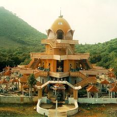
Devipuram
66.3 km
Ramakrishna Mission Beach
89.2 km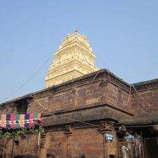
Kumararama
66.9 km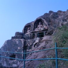
Bojjannakonda
57.7 km
Yarada Beach
83.9 km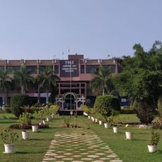
Visakhapatnam Special Economic Zone
71.7 km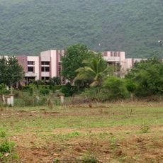
Visakhapatnam Central Jail
86.3 km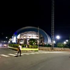
Children's Arena
89.3 km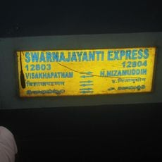
Visakhapatnam Swarna Jayanti Express
78.1 km
City Central Park
87.9 km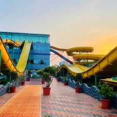
Vizag Water World
80.7 km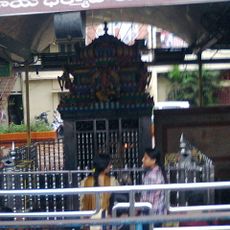
Sri Sampath Vinayagar Temple
88.7 km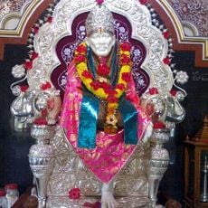
Andhra Shiridi
85.9 km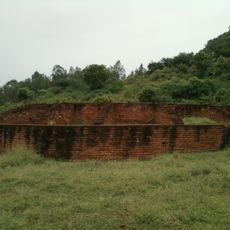
Kotturu Dhanadibbalu
44.3 km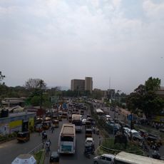
LIC Building, Visakhapatnam
87.7 km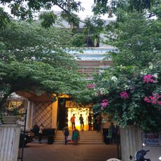
Visakhapatnam Public Library
88.2 km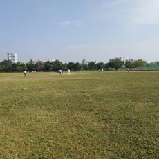
Sports Authority Swimming Pool
70.1 km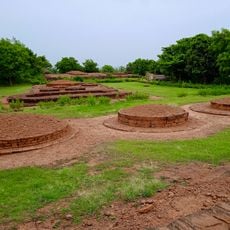
Pandavula Metta
85 km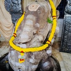
Biccavolu Maha Ganpati
82.2 km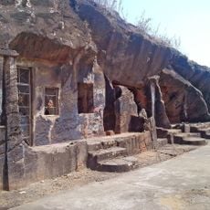
Kapavaram Buddhist sites
84.9 km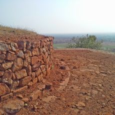
Buddhist remains at Kodavali
43.4 km
Veerabhadra temple
82.2 km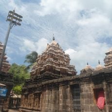
Golingeswara Temple
82.7 km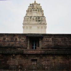
Kumara Bhimeshwara swamy temple
67.9 kmReviews
Visited this place? Tap the stars to rate it and share your experience / photos with the community! Try now! You can cancel it anytime.
Discover hidden gems everywhere you go!
From secret cafés to breathtaking viewpoints, skip the crowded tourist spots and find places that match your style. Our app makes it easy with voice search, smart filtering, route optimization, and insider tips from travelers worldwide. Download now for the complete mobile experience.

A unique approach to discovering new places❞
— Le Figaro
All the places worth exploring❞
— France Info
A tailor-made excursion in just a few clicks❞
— 20 Minutes