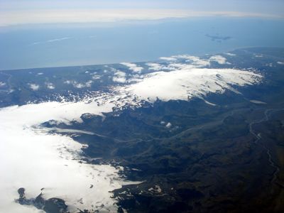
Eyjafjallajökull, Glacier volcano in Southern Region, Iceland
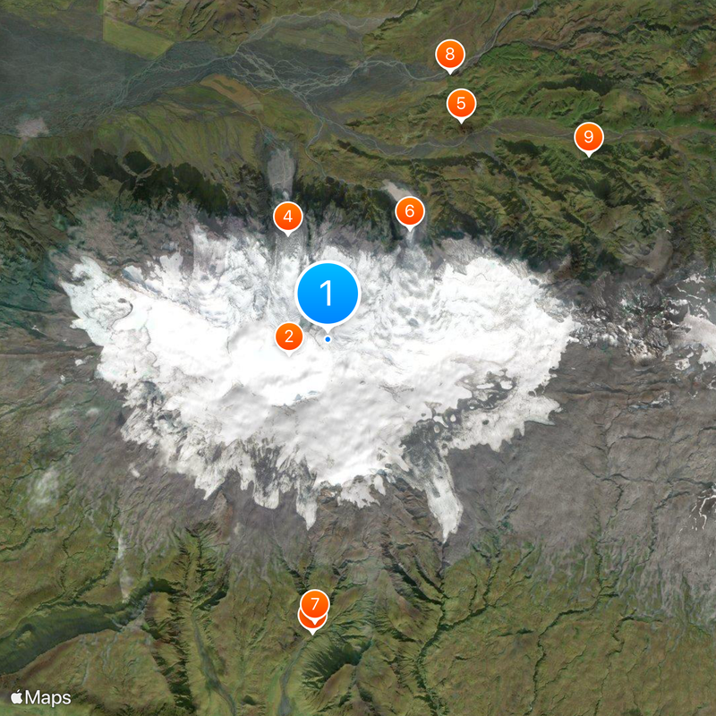
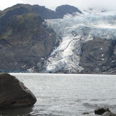
Eyjafjallajökull is an ice cap in the Southern Region of Iceland that conceals a volcano beneath its surface. The ice forms a mass of roughly 100 square kilometers that spreads over the summit and ends in outlet glacier tongues at several points.
The first recorded eruption took place shortly after Iceland's settlement in the 9th century, followed by further outbreaks in the early 17th century and a longer phase between 1821 and 1823. The most recent eruption began in March 2010 and lasted until May.
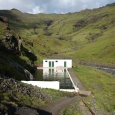
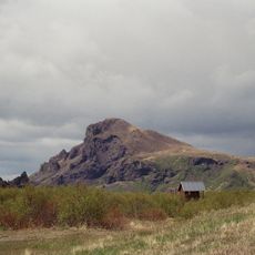
The name translates directly to island mountain glacier, referring to a ridge south of the ice visible from the Westman Islands. Farms along the slopes still show traces of the most recent eruption, though life has long returned to normal routines.
Guided tours typically depart from Hvolsvöllur and last between four and eight hours depending on the season. Winter hikers need extra gear for snow and ice conditions, while summer visits require lighter hiking clothing.
During the 2010 eruption, lightning inside the ash cloud created a rare meteorological event known as a volcanic thunderstorm. The ash output was so fine that it threatened hundreds of aircraft engines and led to the largest airspace closure since World War Two.
The community of curious travelers
AroundUs brings together thousands of curated places, local tips, and hidden gems, enriched daily by 60,000 contributors worldwide.