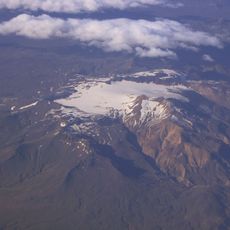
Eyjafjallajökull, Stratovolcano in Rangárþing eystra, Iceland
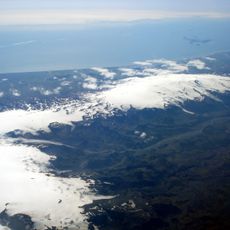
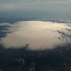
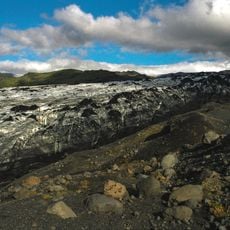
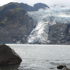
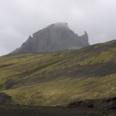
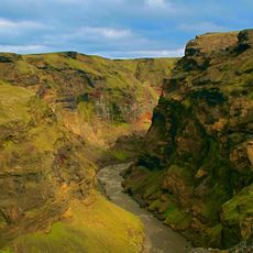
Eyjafjallajökull is a glacier-covered stratovolcano in Rangárþing eystra, southern Iceland, rising to 1666 meters above sea level. The volcano consists of layered basalt flows formed by numerous eruptions over millennia, with its ice cap concealing a caldera beneath.
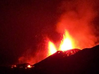
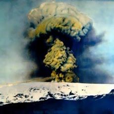
The volcano formed roughly 800,000 years ago through repeated eruptions that built its layered flanks. The 2010 eruption sent ash into the atmosphere and grounded European air traffic for several days.
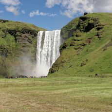
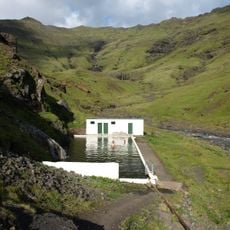
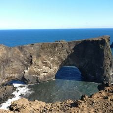
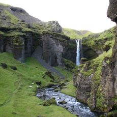
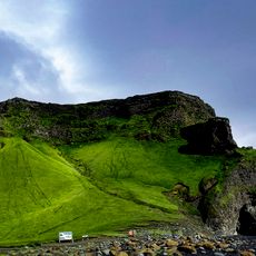
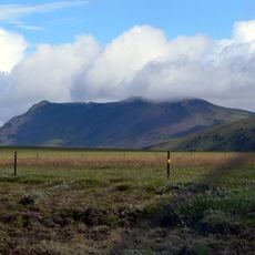
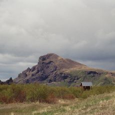
The name Eyjafjallajökull means 'island mountain glacier' in Icelandic, referring to its position near the coast where it rises above the surrounding lowlands. Hikers often notice the contrasts between glacier ice, black lava rock, and the green valleys surrounding its slopes.
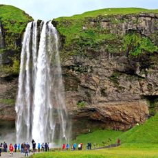
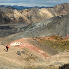
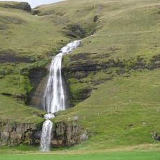
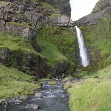
Hiking routes typically start from Skógar village and cross rocky terrain where weather conditions can shift rapidly. A guided tour offers orientation and explains the geological features along the way.
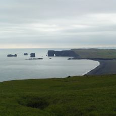
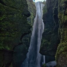
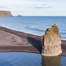
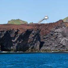
Glacier meltwater from the eruption generated powerful floods that swept away bridges and roads in the surrounding lowlands. Today you can still see deposits of ash and volcanic material along the coast that have reshaped the landscape.
The community of curious travelers
AroundUs brings together thousands of curated places, local tips, and hidden gems, enriched daily by 60,000 contributors worldwide.