Enable Location

We need your location to show you interesting places around you

Discover nearby places

Find interesting locations and hidden gems around you

Precise directions

Get accurate directions and distances to places

Your location is never shared with other users. It's only used when you tap the location button.

Þríhyrningur

Log in to your account

Start exploring — it's free

Trusted by 62,831 travelers worldwide

Continue with Google
Continue with Apple
or

We will send you a code to connect

By continuing, you accept our Terms and Conditions and our Privacy Policy

Check your inbox

We've sent a pincode in your inbox. Please enter the code below.

Þríhyrningur

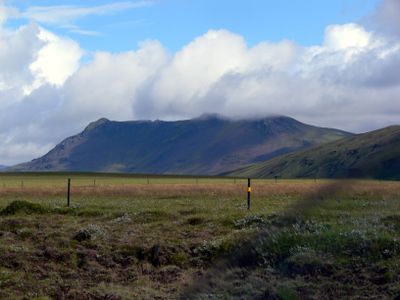
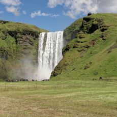
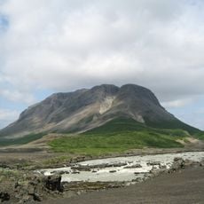
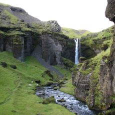
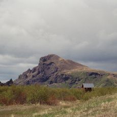
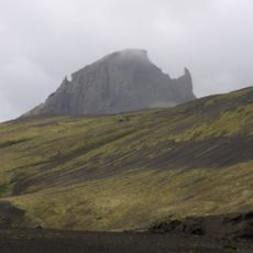
Þríhyrningur, Mountain summit in Southern Iceland

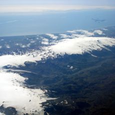
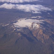
Þríhyrningur is a mountain summit with three distinct peaks rising 678 meters above the surrounding terrain in Southern Iceland. From its heights, you can see both the Eyjafjallajökull glacier and Hekla volcano across the landscape.

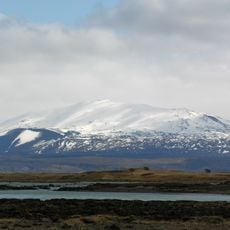
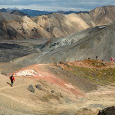
This peak formed during glacial periods and is composed of tuff stone, indicating an age exceeding 12,000 years. The mountain's ancient geology reveals how ice and volcanic activity shaped Iceland's landscape across millennia.

The mountain appears in Njálssaga, the famous Icelandic saga, where it served as a refuge before a major attack. Visitors walking through this landscape feel connected to stories that have shaped Iceland's cultural identity for generations.

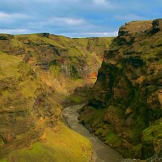
The hiking trail begins at a parking area near the Fiská river, accessible via Fljótshlíðarvegur road from Hvolsvöllur. Starting early and bringing weather-resistant gear helps ensure a safe and comfortable climb regardless of changing conditions.

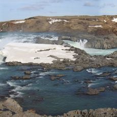
The mountain sits within Katla Geopark and its three peaks form a distinctive shape visible from across the Fljótshlíð region. This recognizable formation serves as a natural landmark for navigation and helps travelers understand the surrounding terrain.

The community of curious travelers

AroundUs brings together thousands of curated places, local tips, and hidden gems, enriched daily by 60,000 contributors worldwide.

Start exploring
Elevation above the sea
678 m
GPS coordinates
63.78892,-19.96330
Latest update
December 14, 2025 20:02
« Þríhyrningur - Mountain summit in Southern Iceland » is provided by Around Us (aroundus.com). Images and texts are derived from Wikimedia project under a Creative Commons license. You are allowed to copy, distribute, and modify copies of this page, under the conditions set by the license, as long as this note is clearly visible.

Discover hidden gems everywhere you go!

From secret cafés to breathtaking viewpoints, skip the crowded tourist spots and find places that match your style. Our app makes it easy with voice search, smart filtering, route optimization, and insider tips from travelers worldwide. Download now for the complete mobile experience.

Around Us App Screenshot

A unique approach to discovering new places

Le Figaro

All the places worth exploring

France Info

A tailor-made excursion in just a few clicks

20 Minutes

Around Us
Travel Guide & Maps
Download

Send to your phone

QR Code
1

Open the camera app on your mobile.

2

Point at the QR code with your camera. A notification will appear.

3

Tap the notification to open the link.