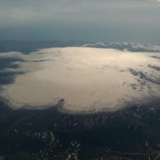
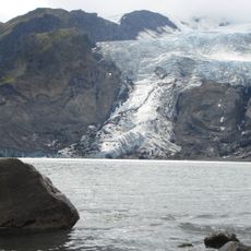
Tindfjallajökull, Ice cap and glacier in Southern Region, Iceland
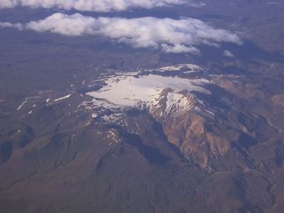
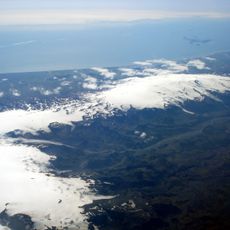
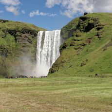
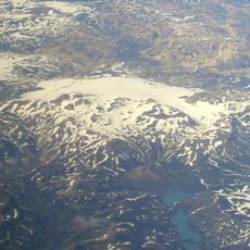
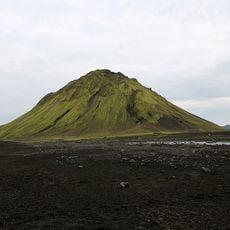
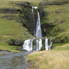
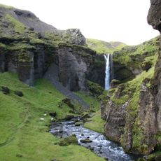
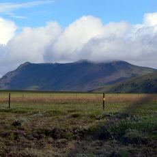
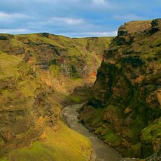
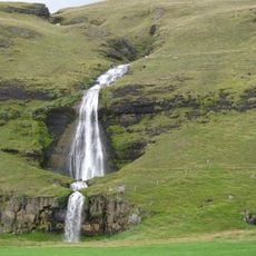
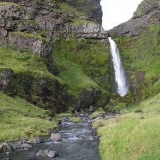
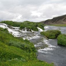
Tindfjallajökull is an ice cap in southern Iceland that covers a central volcano standing at 1,462 meters elevation. Five rivers including Gilsá and Valá originate from this glacier and feed the water system of the southern highlands.
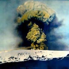
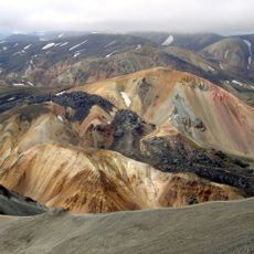
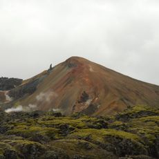
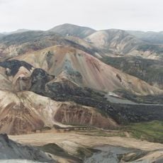
The ice cap formed around 54,000 years ago following a massive volcanic eruption that created a large caldera in the underlying volcanic structure. This volcanic origin continues to define the geological composition of the area today.
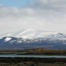
The name refers to the sharp peaks of Tindfjöll, with the summit named after Ymir from Norse mythology. The rivers flowing from this ice mass have shaped the landscape of southern Iceland's highlands for generations.
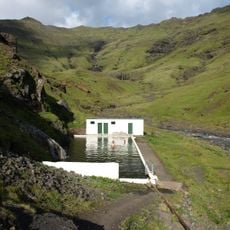
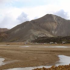
The glacier is located in southern Iceland's highlands and is best visited during warmer months when snow and ice are less likely to block access routes. Visitors should prepare for rough terrain and variable weather common to this mountain region.
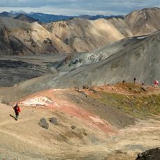
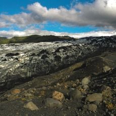
The ice cap has shrunk by roughly half since the 1890s, exposing an ancient stratovolcano composed of different rock types. These newly revealed layers tell the story of volcanic activity across different time periods.
The community of curious travelers
AroundUs brings together thousands of curated places, local tips, and hidden gems, enriched daily by 60,000 contributors worldwide.