Enable Location

We need your location to show you interesting places around you

Discover nearby places

Find interesting locations and hidden gems around you

Precise directions

Get accurate directions and distances to places

Your location is never shared with other users. It's only used when you tap the location button.

Torfajökull

Log in to your account

Start exploring — it's free

Trusted by 61,365 travelers worldwide

Continue with Google
Continue with Apple
or

We will send you a code to connect

By continuing, you accept our Terms and Conditions and our Privacy Policy

Check your inbox

We've sent a pincode in your inbox. Please enter the code below.

Torfajökull

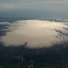
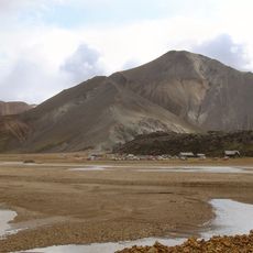
Torfajökull, Rhyolitic volcano and glacier in Rangárþing ytra, Iceland

Description

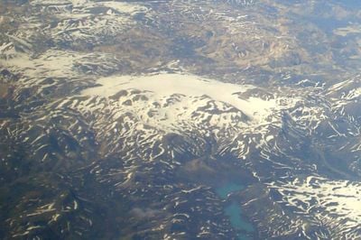
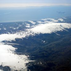
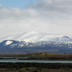
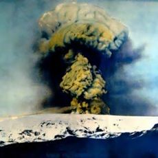
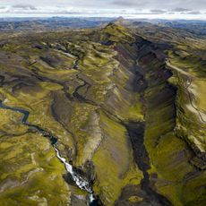
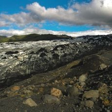
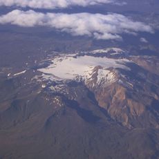
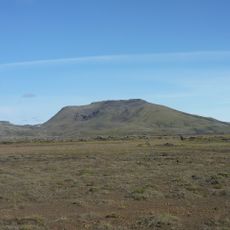
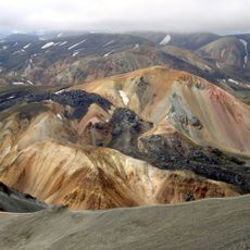
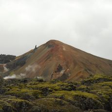
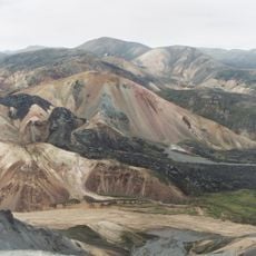
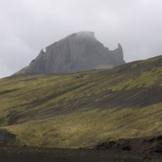
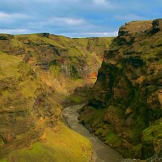
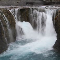
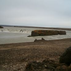
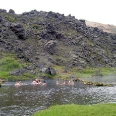
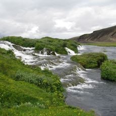
Torfajökull is a rhyolitic volcano with glacier in South Iceland, rising to 1190 meters elevation with a wide caldera visible across the landscape. Geothermal springs emerge from beneath the ice, heating the surrounding area and creating steaming vents that mark the volcanic activity.

History

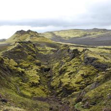
The volcano formed over 55000 years ago through a major eruption that shaped the rhyolitic landscape across the region. This ancient activity left geological marks that remain visible today throughout the highlands.

Culture

The name comes from Torfi Jónsson, who sought shelter in these highlands during hardship in the 15th century. His story remains connected to the landscape, linking visitors to a tale of survival in this remote place.

Practical

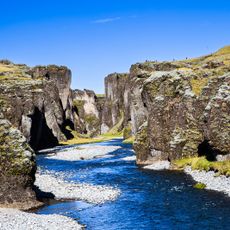
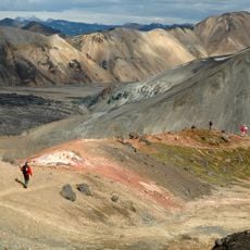
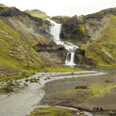
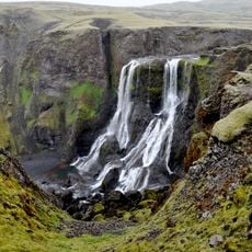
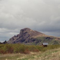
Access requires traveling across rough highland terrain that demands good preparation and proper equipment. Visitors should expect changing weather and steep slopes, and guides are helpful for safe navigation through this remote area.

Did you know?

The location sits directly on the Mid-Atlantic Ridge and an active seismic zone, where underground temperatures exceed 340 degrees Celsius. This mix of plate tectonics and volcanic heat makes this a geologically remarkable spot.

Elevation above the sea
1,190 m
Made from material
rhyolite
GPS coordinates
63.88154,-19.00971
Latest update
December 11, 2025 18:11

AroundUs brings together thousands of curated places, local tips, and hidden gems, enriched daily by 60,000 contributors worldwide. Discover all places nearby (Rangárþing ytra).

« Torfajökull - Rhyolitic volcano and glacier in Rangárþing ytra, Iceland » is provided by Around Us (aroundus.com). Images and texts are derived from Wikimedia project under a Creative Commons license. You are allowed to copy, distribute, and modify copies of this page, under the conditions set by the license, as long as this note is clearly visible.

Discover hidden gems everywhere you go!

From secret cafés to breathtaking viewpoints, skip the crowded tourist spots and find places that match your style. Our app makes it easy with voice search, smart filtering, route optimization, and insider tips from travelers worldwide. Download now for the complete mobile experience.

Around Us App Screenshot

A unique approach to discovering new places

Le Figaro

All the places worth exploring

France Info

A tailor-made excursion in just a few clicks

20 Minutes

Around Us
Travel Guide & Maps
Download

Send to your phone

QR Code
1

Open the camera app on your mobile.

2

Point at the QR code with your camera. A notification will appear.

3

Tap the notification to open the link.