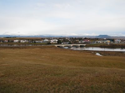
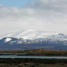
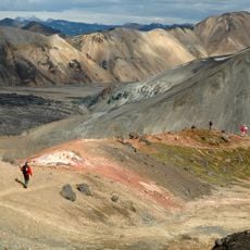
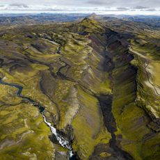
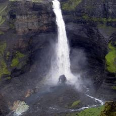
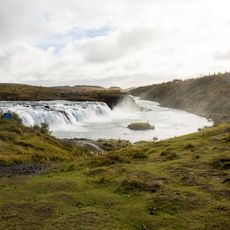
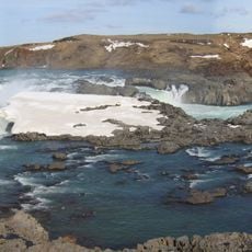
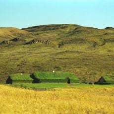
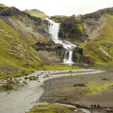
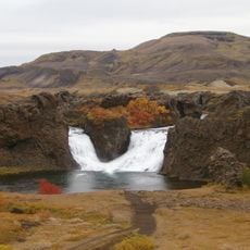
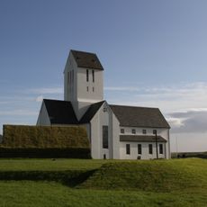
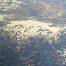
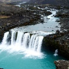
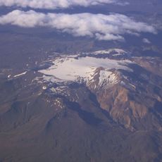
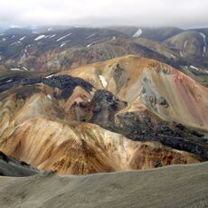
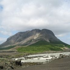
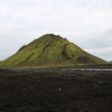
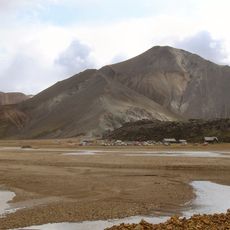
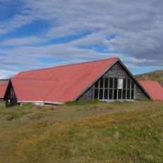
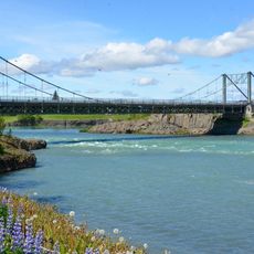
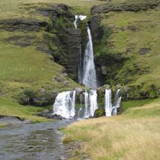
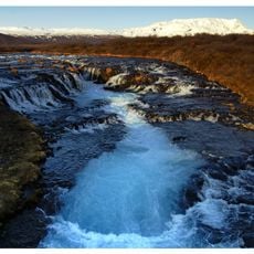
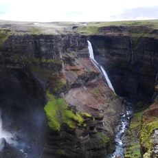
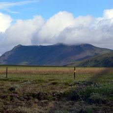
Rangárþing ytra, municipality of Iceland
Location: Southern Region
Email: ry@ry.is
Website: http://rangarthingytra.is
GPS coordinates: 63.83333,-20.40000
Latest update: March 3, 2025 14:32
Hekla
40.1 km
Laugavegur
57 km
Eldgjá
88.9 km
Háifoss
54.3 km
Faxi
43.7 km
Urriðafoss
16.8 km
Þjóðveldisbærinn Stöng
42.5 km
Ófærufoss
88.5 km
Hjálparfoss
40.9 km
Skálholt church
33.1 km
Torfajökull
68.4 km
Þjófafoss
36 km
Tindfjallajökull
40.4 km
Brennisteinsalda
65.9 km
Búrfell
39.5 km
Maelifell
71.9 km
Bláhnjúkur
67.1 km
Þjóðveldisbærinn Stöng
47.5 km
Ölfusárbrú
22.6 km
Merkjárfoss
27.9 km
Brúarfoss
48.3 km
Sigöldulón
74.6 km
Granni Waterfall
54.5 km
Hellnahellir
12 m
Hestfjall
24.5 km
Hrafntinnusker
60.8 km
Fjallabak natural reserve
64.2 km
Þríhyrningur
22 kmReviews
Visited this place? Tap the stars to rate it and share your experience / photos with the community! Try now! You can cancel it anytime.
Discover hidden gems everywhere you go!
From secret cafés to breathtaking viewpoints, skip the crowded tourist spots and find places that match your style. Our app makes it easy with voice search, smart filtering, route optimization, and insider tips from travelers worldwide. Download now for the complete mobile experience.
A unique approach to discovering new places❞
— Le Figaro
All the places worth exploring❞
— France Info
A tailor-made excursion in just a few clicks❞
— 20 Minutes