Laugavegur, Mountain trail in Rangárþing eystra, Iceland
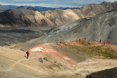
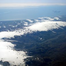
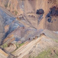
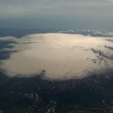
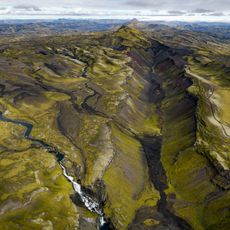
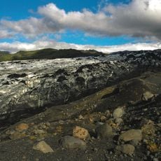
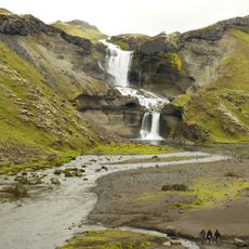
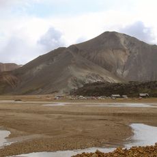
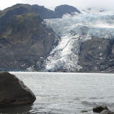
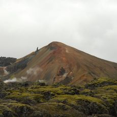
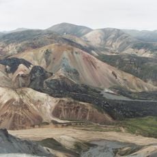
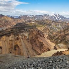
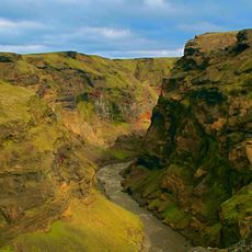
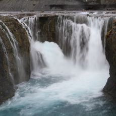
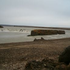
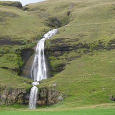
The Laugavegur is a mountain hiking trail in southern Iceland that stretches roughly 54 kilometers through diverse landscapes. The route passes through mountains, glaciers, hot springs, black sand deserts, and green valleys, connecting highland regions with lower terrain.
The Iceland Touring Association established this north-south route in 1924 as the first maintained hiking path through the southern highlands. The trail was created to make the remote mountain regions more accessible to travelers.
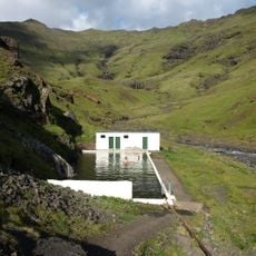
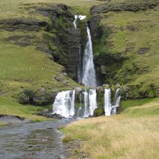
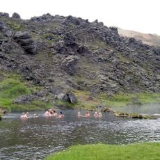
The name comes from Icelandic words 'laug' meaning hot spring and 'vegur' meaning way, reflecting the geothermal features that travelers discover along the route. This connection to Iceland's natural heat has shaped the trail's character and cultural importance for locals.
The hike is most accessible between June and September when mountain huts with sleeping facilities and camping grounds operate along the route. Advance planning is important since these accommodations fill quickly due to high demand.
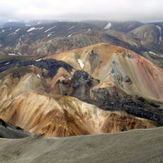
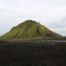
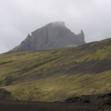
The trail crosses the Mælifellssandur desert, a black volcanic sand landscape where the green pyramid-shaped mountain Mælifell rises distinctively from the terrain. This contrast between black sand and green slopes makes this section visually striking and draws many photographs from hikers.
The community of curious travelers
AroundUs brings together thousands of curated places, local tips, and hidden gems, enriched daily by 60,000 contributors worldwide.