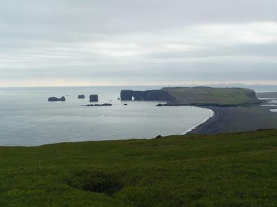
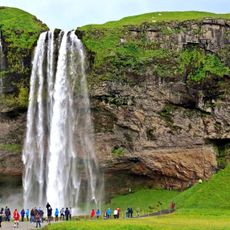
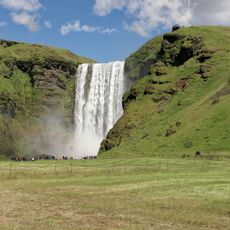
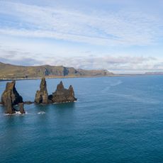
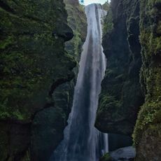
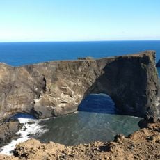
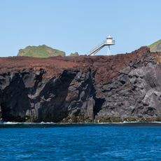
Dyrhólaey, Natural arch and cape at southern coast, Iceland
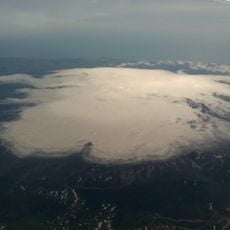
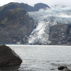
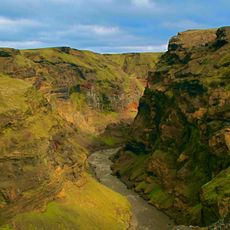
Dyrhólaey is a basalt formation on Iceland's southern coast that rises roughly 120 meters (400 feet) above the ocean and features a striking natural arch. This opening was carved through the volcanic rock over many centuries by the persistent action of waves and coastal currents.
The formation originated roughly 80,000 years ago through underwater volcanic activity when the region was still actively forming. Ocean currents and waves have continuously expanded and shaped the arch since its emergence.
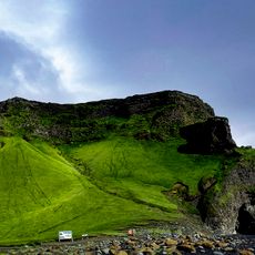
The name means "the hill with the door hole" in Icelandic, describing the distinctive opening that cuts through the rock formation. The black sand beaches at the base give the landscape its dramatic appearance.
You reach the site via Route 218 off Ring Road 1, with two parking areas providing different viewing angles of the formation. The walkways can become slippery in wet conditions, so visit on dry days for the safest experience.
The site closes during May and early June to protect nesting seabirds, particularly puffins that establish breeding colonies in the cliffs during summer. This restriction allows the birds to nest and raise their young without disturbance.
Location: Mýrdalshreppur
Elevation above the sea: 120 m
GPS coordinates: 63.39972,-19.12639
Latest update: December 7, 2025 19:23
From the highest peaks to coastal cliffs, this collection brings together geographically significant observation points across all continents. The locations offer views of mountain ranges, waterfalls, deserts, oceans, and notable architectural structures. The selection includes the Great Wall near...
Eyjafjallajökull
35.1 km
Seljalandsfoss
49.1 km
Katla
25.9 km
Skógafoss
24.2 km
Reynisdrangar
4.7 km
Eyjafjallajökull
35.5 km
Mýrdalsjökull
29.7 km
Laugavegur
50.4 km
Seljavallalaug
30.3 km
Sólheimajökull
19.2 km
Gljufrafoss
49.3 km
Torfajökull
53.9 km
Tindfjallajökull
49.9 km
Dyrhólaey
438 m
Dyrhólaey Lighthouse
349 m
Maelifell
45.5 km
Merkjárfoss
52.2 km
Solheimasandur Plane Wreck
13.6 km
Kvernufoss
22.8 km
Gígjökull
37.7 km
Reynisfjall
6.2 km
Valahnúkur
37.4 km
Einhyrningur
41.6 km
Markarfljótsgljúfur
41.6 km
Þórðarfoss
52.5 km
Írárfoss
40.1 km
Álftaversgígar
36.8 km
Urðir Lighthouse
55 kmVisited this place? Tap the stars to rate it and share your experience / photos with the community! Try now! You can cancel it anytime.
Discover hidden gems everywhere you go!
From secret cafés to breathtaking viewpoints, skip the crowded tourist spots and find places that match your style. Our app makes it easy with voice search, smart filtering, route optimization, and insider tips from travelers worldwide. Download now for the complete mobile experience.
A unique approach to discovering new places❞
— Le Figaro
All the places worth exploring❞
— France Info
A tailor-made excursion in just a few clicks❞
— 20 Minutes