
Akrahreppur, municipality of Iceland
Location: Northwestern Region
Shares border with: Sveitarfélagið Skagafjörður
GPS coordinates: 65.45694,-18.96139
Latest update: March 4, 2025 01:37

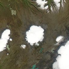
Hofsjökull
71.6 km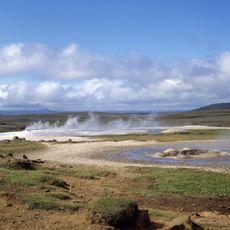
Hveravellir
71.5 km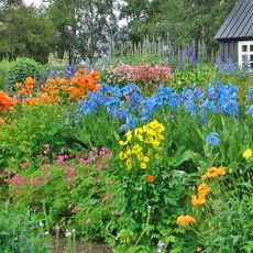
Akureyri Botanical Garden
46.8 km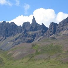
Hraundrangi
22.5 km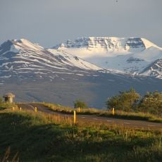
Kerling
34.5 km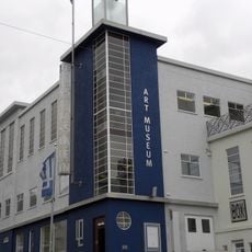
Akureyri Art Museum
47.1 km
Hóladómkirkja
31.6 km
Aviation Museum of Iceland
46.2 km
Súlur
38.8 km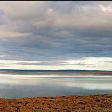
Blöndulón
44.3 km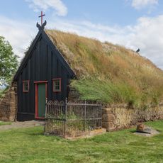
Church in Víðimýri
25.2 km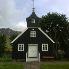
Munkaþverá (monastery)
41.7 km
Nonni's House
46.6 km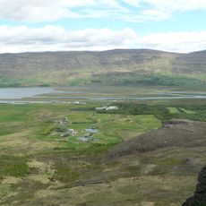
Vaðlaheiði
52.8 km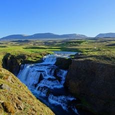
Reykjafoss
19.9 km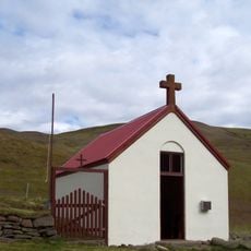
Ábæjarkirkja
17.9 km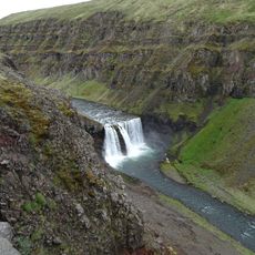
Dalfoss
54.9 km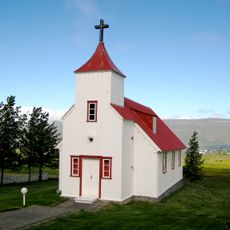
Lögmannshlíðarkirkja
44.1 km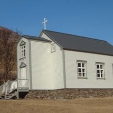
Urðakirkja
46.9 km
Hofsjökull (volcan)
72.1 km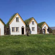
Glaumbær Folk Museum
30.3 km
Akureyri Museum
46.6 km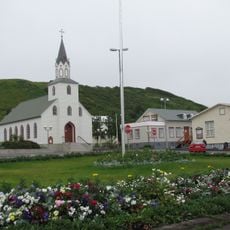
Sauðárkrókskirkja
45.5 km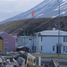
Sauðárkrókur front range
45.4 km
Phare de Svalbarðseyri
51.2 km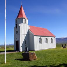
Glaumbæjarkirkja
30.4 km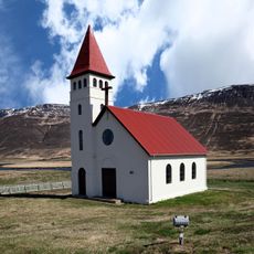
Undirfellskirkja
60.8 km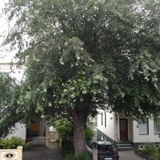
Icelandic tree of the year 2012
47.3 kmVisited this place? Tap the stars to rate it and share your experience / photos with the community! Try now! You can cancel it anytime.
Discover hidden gems everywhere you go!
From secret cafés to breathtaking viewpoints, skip the crowded tourist spots and find places that match your style. Our app makes it easy with voice search, smart filtering, route optimization, and insider tips from travelers worldwide. Download now for the complete mobile experience.

A unique approach to discovering new places❞
— Le Figaro
All the places worth exploring❞
— France Info
A tailor-made excursion in just a few clicks❞
— 20 Minutes