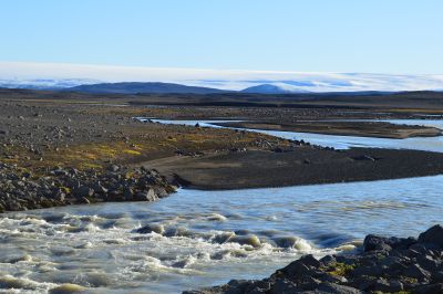
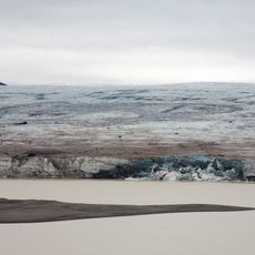
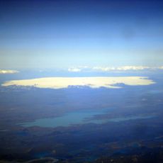
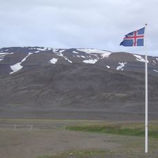
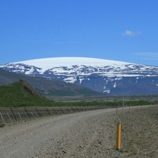
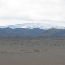
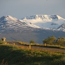
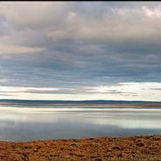
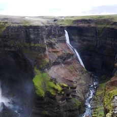
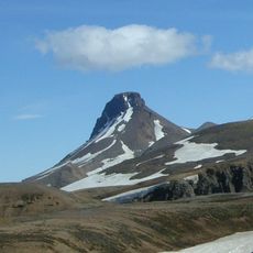
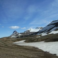
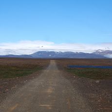
Hofsjökull, Ice cap in central Iceland.
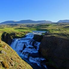
Hofsjökull is an ice cap in Iceland's highlands with multiple outlets that flow downward into surrounding valleys. The glacier's surface is deeply fissured and presents challenging terrain for anyone attempting to cross it.
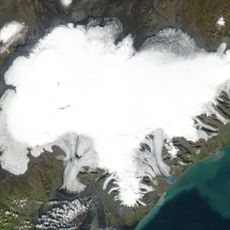
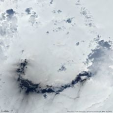
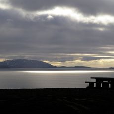
This ice cap formed during the last ice age and holds layers of volcanic ash within its ice. These deposits record Iceland's geological shifts across thousands of years.
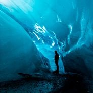
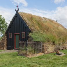
Local stories speak of mythical creatures dwelling in ice caves beneath this glacier, and these tales remain woven into how Icelanders view the place today. The landscape continues to inspire narratives that connect the land to its ancient past.
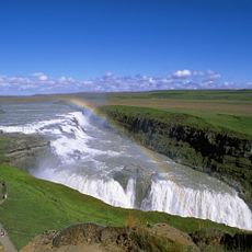
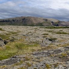
Visitors need specialized equipment and professional guides to explore this glacier safely, as weather can shift rapidly. Conditions change quickly, so proper preparation and precautions are essential.
Scientists extract ice cores from this glacier to study volcanic activity patterns and climate variations spanning centuries. The layers of frozen ice tell a story reaching back much farther than written records.
Location: Southern Region
Location: Northwestern Region
Elevation above the sea: 1,765 m
Address: Hofsjokull, Iceland
GPS coordinates: 64.81667,-18.81667
Latest update: December 6, 2025 17:41
Iceland is an island shaped by ice and fire. Glaciers cover much of the interior while geothermal areas show that something is always happening beneath the surface. The landscapes here look different from most places: black sand beaches formed by volcanic activity, fjords cutting deep into the coast, waterfalls dropping over cliffs and canyons with moss covered walls. Vatnajökull in the southeast is Europe's largest glacier, while smaller ice caps like Snæfellsjökull or Drangajökull have their own character. Reykjavik sits by the ocean and mixes city life with access to nature. The Harpa concert hall stands by the harbor, Hallgrímskirkja church rises above the rooftops, and along the shore you find the Sólfar sculpture. Lake Tjörnin lies in the center of town. Outside the city, routes lead to natural sites: the Blue Lagoon with its milky blue water, Strokkur geyser that erupts every few minutes, Gullfoss waterfall where a river plunges into a canyon. The southern coast shows different faces. Near Vík there is Reynisfjara beach with its basalt columns and black sand, and not far away the cliff at Dyrhólaey. Diamond Beach near Hornafjörður is scattered with ice chunks washed up by the sea. In the north, Lake Mývatn attracts visitors with its volcanic surroundings, while the Westfjords with the Hornstrandir reserve and the red sand of Rauðasandur beach belong to the more remote parts of the country. The Ring Road connects most of these places and circles the entire island.
Gullfoss
82.9 km
Bárðarbunga
64.3 km
Langjökull
67 km
Háifoss
79.6 km
Þórisvatn
57.5 km
Hveravellir
35.4 km
Tungnafellsjökull
43.6 km
Eiríksjökull
75.7 km
Trölladyngja
74.5 km
Hraundrangi
86.7 km
Kerling
86.5 km
Þjóðveldisbærinn Stöng
86.6 km
Loki-Fögrufjöll
64.6 km
Thordarhyrna
86.4 km
Blöndulón
56.4 km
Church in Víðimýri
86 km
Hallmundarhraun
75 km
Sigöldulón
74.8 km
Granni Waterfall
79.3 km
Reykjafoss
80 km
Loðmundur
26.3 km
Skaftárkatlar
71.6 km
Ábæjarkirkja
54.1 km
Snækollur
27.5 km
Sigöldufoss
73.5 km
Dalfoss
79.1 km
Hofsjökull (volcan)
2.4 km
Hafrafell (Kaldidalur)
84 kmReviews
Visited this place? Tap the stars to rate it and share your experience / photos with the community! Try now! You can cancel it anytime.
Discover hidden gems everywhere you go!
From secret cafés to breathtaking viewpoints, skip the crowded tourist spots and find places that match your style. Our app makes it easy with voice search, smart filtering, route optimization, and insider tips from travelers worldwide. Download now for the complete mobile experience.
A unique approach to discovering new places❞
— Le Figaro
All the places worth exploring❞
— France Info
A tailor-made excursion in just a few clicks❞
— 20 Minutes