
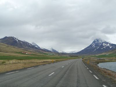
Hörgársveit, municipality in Iceland
Location: Northeastern Region
Elevation above the sea: 630 m
Website: http://www.horgarsveit.is/
Website: http://horgarsveit.is
GPS coordinates: 65.45722,-18.79278
Latest update: March 16, 2025 18:21
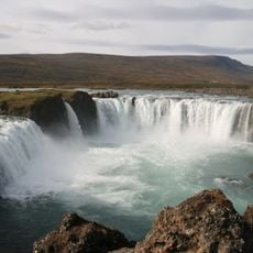
Goðafoss
62.5 km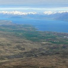
Eyjafjörður
53.2 km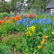
Akureyri Botanical Garden
40.3 km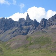
Hraundrangi
17.4 km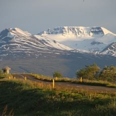
Kerling
27.2 km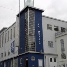
Akureyri Art Museum
40.7 km
Hóladómkirkja
34.1 km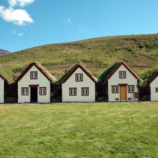
Laufás
59 km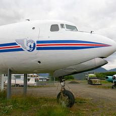
Aviation Museum of Iceland
39.5 km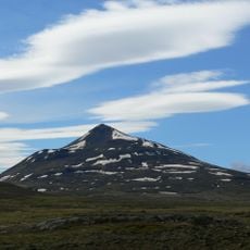
Súlur
31.9 km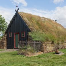
Church in Víðimýri
32.6 km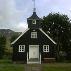
Munkaþverá (monastery)
34.2 km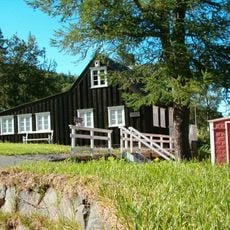
Nonni's House
40.1 km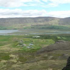
Vaðlaheiði
46.5 km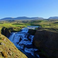
Reykjafoss
27.6 km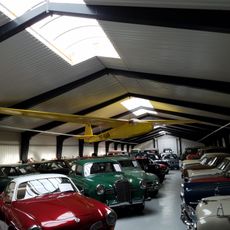
The Transportation Museum at Ystafell
66.4 km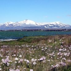
Kaldbakur
67.1 km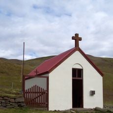
Ábæjarkirkja
17.4 km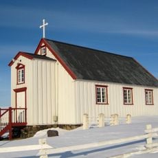
Vallakirkja
52.8 km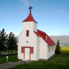
Lögmannshlíðarkirkja
37.8 km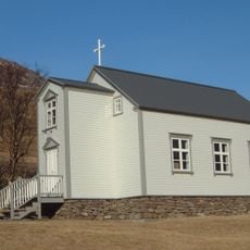
Urðakirkja
45.5 km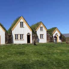
Glaumbær Folk Museum
37 km
Akureyri Museum
40 km
Hjalteyrarviti
51.9 km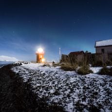
Phare de Svalbarðseyri
45.4 km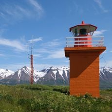
Phare de Hrísey
65.1 km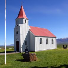
Glaumbæjarkirkja
37 km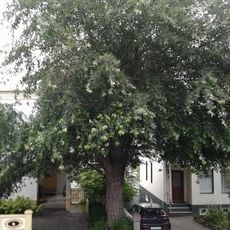
Icelandic tree of the year 2012
40.9 kmReviews
Visited this place? Tap the stars to rate it and share your experience / photos with the community! Try now! You can cancel it anytime.
Discover hidden gems everywhere you go!
From secret cafés to breathtaking viewpoints, skip the crowded tourist spots and find places that match your style. Our app makes it easy with voice search, smart filtering, route optimization, and insider tips from travelers worldwide. Download now for the complete mobile experience.

A unique approach to discovering new places❞
— Le Figaro
All the places worth exploring❞
— France Info
A tailor-made excursion in just a few clicks❞
— 20 Minutes