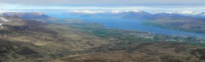
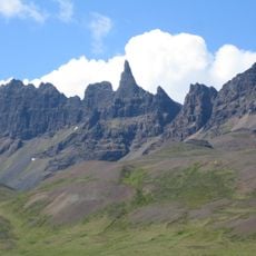
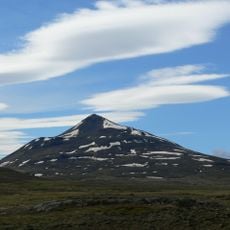
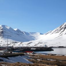
Eyjafjörður, Arctic fjord in Northeastern Region, Iceland
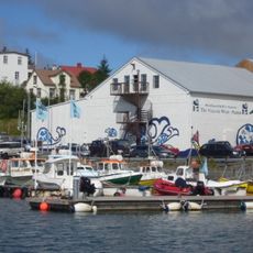
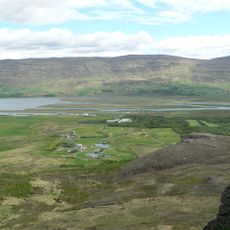
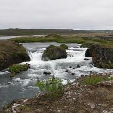
Eyjafjörður is an Arctic fjord that stretches roughly 60 kilometers from north to south, reaching about 15 kilometers wide at its broadest point. The waterway is bordered by several settlements, with Akureyri being the largest city and regional hub for services and facilities.
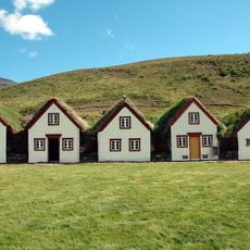
The area was settled in medieval times and later developed into a major fishing center, particularly during the 20th century. At that time, a massive herring factory on Hjalteyri island employed thousands of workers from the surrounding region.
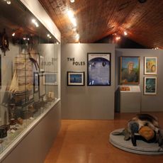
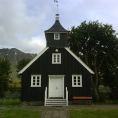
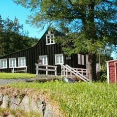
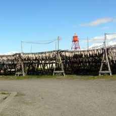
The House of Hákarla-Jörundar museum on Hrísey Island displays traditional Icelandic shark fishing methods in a building from 1886. The exhibits document a local practice that was economically important to the region for many generations.
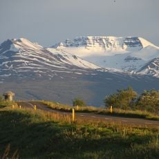
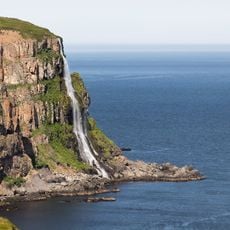
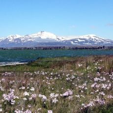
The best time to explore is during summer when pathways are accessible and daylight extends longer. Many visitors use Akureyri as a base for boat trips across the fjord or to the islands.
Beneath the fjord water lies Strýtan, a geothermal field where hot springs push drinkable freshwater from the seafloor. Cone-shaped formations rise 50 meters high in this underwater landscape, revealing the region's volcanic activity.
The community of curious travelers
AroundUs brings together thousands of curated places, local tips, and hidden gems, enriched daily by 60,000 contributors worldwide.