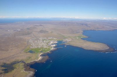
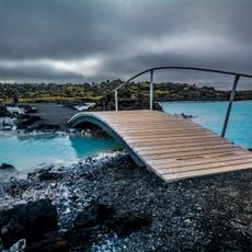
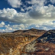
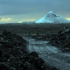
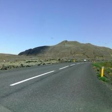
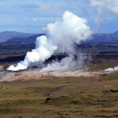
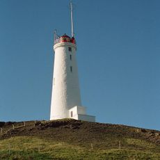
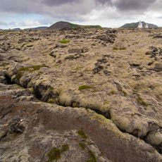
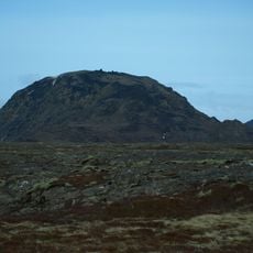
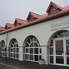
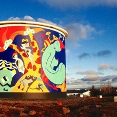
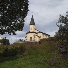
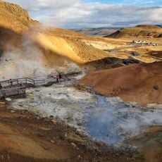
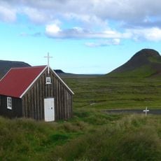
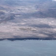
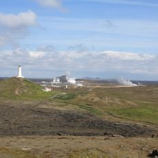
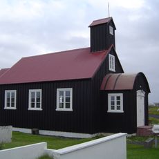
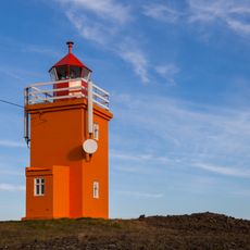
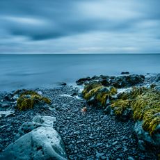
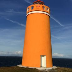
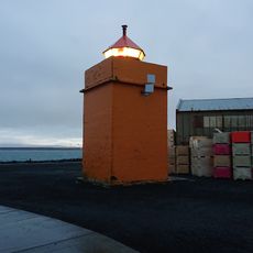
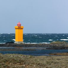
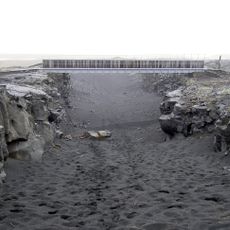
Grindavíkurbær, Municipality in Iceland
Location: Southern Peninsula Region
Capital city: Grindavík
Shares border with: Reykjanesbær, Vogar, Hafnarfjarðarkaupstaður, Ölfus
Website: http://grindavik.is
GPS coordinates: 63.88425,-22.21786
Latest update: March 10, 2025 23:57
Blue Lagoon
11.2 km
Blue Lagoon
11.3 km
Krýsuvík
25.1 km
Keilir
6.7 km
Þorbjörn
11.2 km
Viking World museum
18.3 km
Gunnuhver
24 km
Reykjanesviti
25.1 km
Svartsengi
11.3 km
Helgafell
22.8 km
Hafnarborg
24.1 km
Uppspretta
21.4 km
Hafnarfjordur Free Church
24.3 km
Reykjanes
17.5 km
Krýsuvíkurkirkja
7.9 km
Trölladyngja
8.6 km
Ögmundarhraun
4.8 km
Seltún Hot Springs
8 km
Phare de Reykjanestá
25.3 km
Kirkjuvogskirkja
23.6 km
Hopsnes lighthouse
11.3 km
Hafnarfjörður
23.8 km
Holmbergs lighthouse
23.2 km
Phare de Hafnarfjörður
23.3 km
Leiðarendi Lava Cave
21.5 km
Vatnsnes Lighthouse
20.6 km
Gerðistangarviti
15.7 km
Bridge between continents
22.5 kmReviews
Visited this place? Tap the stars to rate it and share your experience / photos with the community! Try now! You can cancel it anytime.
Discover hidden gems everywhere you go!
From secret cafés to breathtaking viewpoints, skip the crowded tourist spots and find places that match your style. Our app makes it easy with voice search, smart filtering, route optimization, and insider tips from travelers worldwide. Download now for the complete mobile experience.
A unique approach to discovering new places❞
— Le Figaro
All the places worth exploring❞
— France Info
A tailor-made excursion in just a few clicks❞
— 20 Minutes