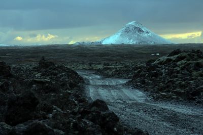
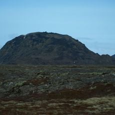
Keilir, Volcanic cone in Reykjanes Peninsula, Iceland.
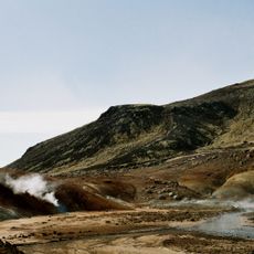
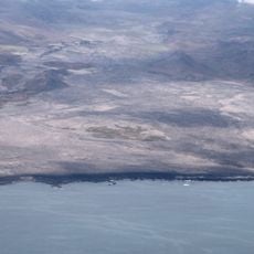
Keilir is a conical mountain on the Reykjanes Peninsula rising approximately 378 meters with steep slopes displaying multiple geological layers. It formed through volcanic activity occurring beneath glacial ice during successive eruption phases.
The mountain formed during the Pleistocene epoch through volcanic eruptions beneath glacial ice, which left tephra deposits in layers. This subglacial activity shaped the cone's distinctive form.
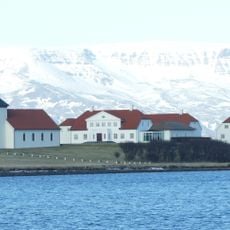
Generations of Icelandic fishermen and sailors used this mountain's distinctive outline as a key navigation landmark along the coast. Its shape became deeply embedded in the local memory of the landscape.
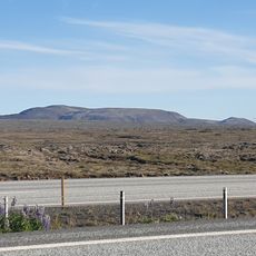
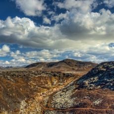
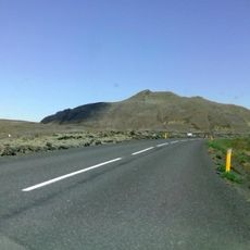
The hike begins at Höskuldarvellir parking area with an initial flat section of about 3 kilometers to reach the mountain's base. From there, the trail becomes steep and requires good footing on volcanic rock.
At the summit stands a concrete table with a metal direction plate showing the surrounding geography and helping visitors identify neighboring landscapes. This plate was added to provide better orientation at the peak.
The community of curious travelers
AroundUs brings together thousands of curated places, local tips, and hidden gems, enriched daily by 60,000 contributors worldwide.