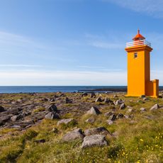
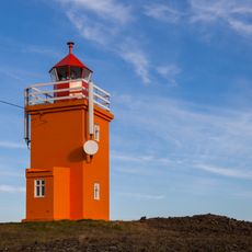
Þorbjörn, Volcanic mountain in Grindavíkurbær, Iceland.
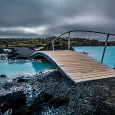
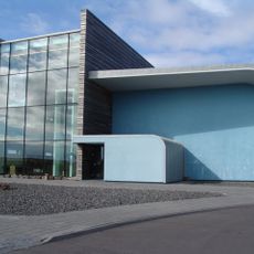
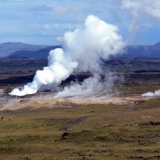
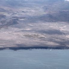
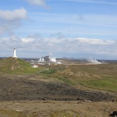
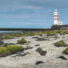
Þorbjörn is a 243-meter-high volcanic mountain in Grindavíkurbær on the Reykjanes Peninsula containing a network of fissures. It rises above the Svartsengi geothermal area and shapes the landscape of this geologically active region.
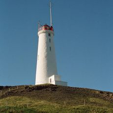
During World War II, United States military forces built a jeep track to the summit to support operations in the region. This military infrastructure later enabled the installation of telephone and television transmitters on the peak.
The name translates to 'Bear of Thor' and originates from a local story about a farmer's son who caught bandits, an event that led to naming a nearby canyon. This connection to a historical act of bravery remains part of the mountain's identity.
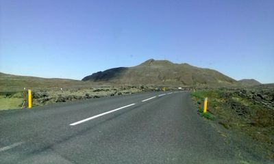
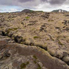
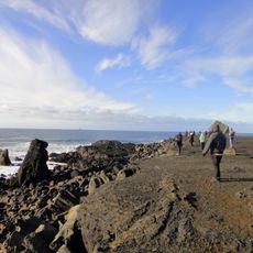
Multiple hiking trails approach the summit from the southwestern side and offer views of the Blue Lagoon and surrounding volcanic landscape. The climb is relatively short and routes are easily accessible from the peninsula's main tourist areas.
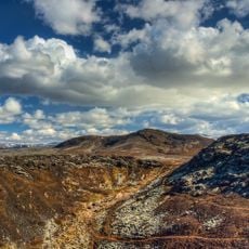
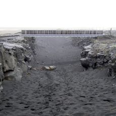
The mountain displays a tectonic graben formation at its peak, creating a small canyon formation. This fissure structure provides visible evidence of the geological processes still actively shaping the landscape.
The community of curious travelers
AroundUs brings together thousands of curated places, local tips, and hidden gems, enriched daily by 60,000 contributors worldwide.