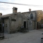
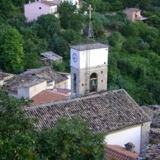
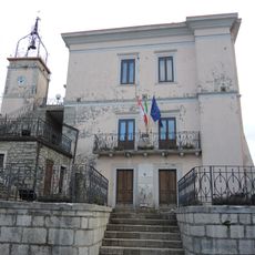
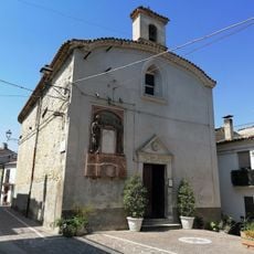
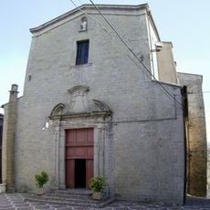
Monteferrante, Mountain commune in Abruzzo, Italy
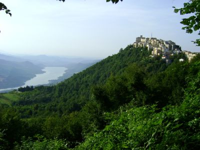
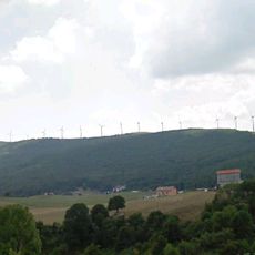
Monteferrante is a small commune in the Province of Chieti in the Abruzzo region. It spreads across roughly 15 square kilometers of mountain terrain at about 850 meters in elevation.
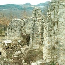
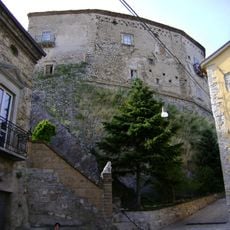
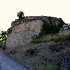
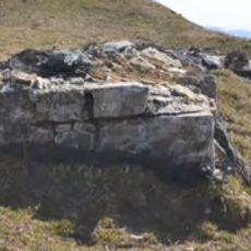
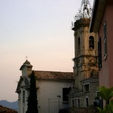
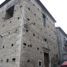
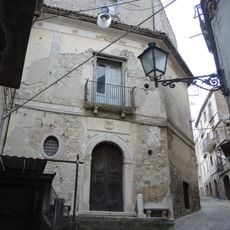
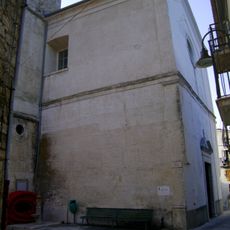
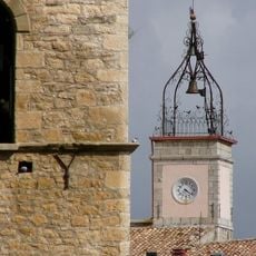
The Di Sangro family took control of Monteferrante in the 12th century and built a castle whose foundations still stand today. This early fortification shows the strategic importance of the place during medieval times.
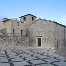
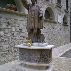
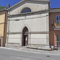
The village honors Saint Joseph on March 19, when families gather to share special meals and decorations in his honor. This local tradition shows how faith remains woven into the life of the community.
You can reach the village via State Road 652 from Castel di Sangro or Lanciano. The A14 motorway is another option, with the Lanciano exit being the closest point.
A natural mineral spring in the Valle Macchia area is known for its diuretic properties and flows within the village boundaries. Few visitors realize this water source exists as a local natural feature.
The community of curious travelers
AroundUs brings together thousands of curated places, local tips, and hidden gems, enriched daily by 60,000 contributors worldwide.