Canale d'Agordo, Mountain municipality in Belluno Province, Italy
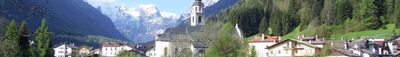
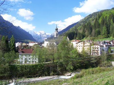
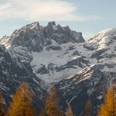
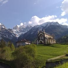
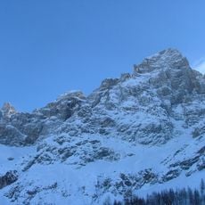
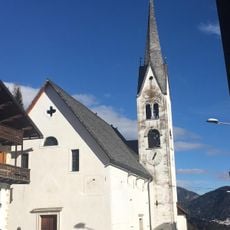
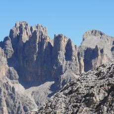
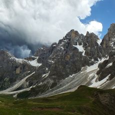
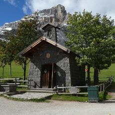
Canale d'Agordo is a mountain municipality in Belluno Province situated at 976 meters elevation where the Biois and Liera rivers meet. The village spreads through a Dolomite valley surrounded by forests and steep slopes.
The town was known as Forno di Canale until 1964 and served as a mining hub since the 14th century extracting iron and copper. The name change marked a shift as the traditional mining economy faded from local life.
The Tabià buildings scattered across the Biois Valley define the local character, with over 300 of these wooden structures serving as barns and storage for mountain communities. These structures show how residents adapted their daily life and work to the demands of high-altitude living.
Public fountains throughout the municipality provide access to fresh mountain water for visitors walking the valley. Comfortable shoes are advisable since exploring the hilly terrain requires steady footing.
A local priest named Don Antonio della Lucia established Italy's first dairy cooperative here during the late 1800s. This initiative helped farming families market their milk products more effectively and improve their earnings.
Location: Province of Belluno
Capital city: Canale d'Agordo
Elevation above the sea: 976 m
Shares border with: Cencenighe Agordino, Falcade, Rocca Pietore, Taibon Agordino, Primiero San Martino di Castrozza, Vallada Agordina, Siror
Website: http://comune.canaledagordo.bl.it
GPS coordinates: 46.36056,11.91444
Latest update: December 20, 2025 15:53
Vezzana
10.2 km
Mulaz
8 km
Albino Luciani Museum
36 m
Madonna Immacolata
4.1 km
Cima dei Bureloni
9.4 km
Chiesa di San Sebastiano
4.3 km
Cima di Focobon
8.1 km
Sacro Cuore di Gesù
1.7 kmCampanile di Focobon
8.5 kmCima Di Sanson
3.1 km
Cima di Val Grande
9.2 km
Our Lady of Health church
1.7 kmCampanile di Val Strutt
9.8 km
Pale di San Martino: Focobon, Pape - San Lucano, Agner - Croda Granda
6.3 kmCima Corona
11.5 kmCimon della Stia
5.1 kmMonte Tamer
4.1 kmCampanile di Val Grande
8.8 kmCroda della Pala
11.1 km
Our Lady of Snow chapel
7.6 kmCime dell'Auta
5 kmCima Zopel
7.4 km
Saint Pius X church
1.6 kmMonte Pettenassa
2.6 kmCascata di Barezze
4.1 kmPrima Latteria Cooperativa d'Italia
267 mScenic viewpoint
6.1 kmScenic viewpoint
7.7 kmVisited this place? Tap the stars to rate it and share your experience / photos with the community! Try now! You can cancel it anytime.
Discover hidden gems everywhere you go!
From secret cafés to breathtaking viewpoints, skip the crowded tourist spots and find places that match your style. Our app makes it easy with voice search, smart filtering, route optimization, and insider tips from travelers worldwide. Download now for the complete mobile experience.
A unique approach to discovering new places❞
— Le Figaro
All the places worth exploring❞
— France Info
A tailor-made excursion in just a few clicks❞
— 20 Minutes