Valdisotto, Italian comune
Location: Province of Sondrio
Capital city: Valdisotto
Elevation above the sea: 1,141 m
Shares border with: Bormio, Grosio, Valdidentro, Valfurva, Sondalo
Website: http://comune.valdisotto.so.it
GPS coordinates: 46.42788,10.35617
Latest update: April 15, 2025 02:48
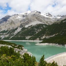
Lago di Cancano II
12 km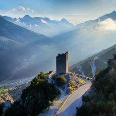
Torri di Fraele
9 km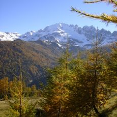
Cima Piazzi
5.6 km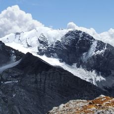
Hohe Schneide
11 km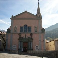
Santi Gervasio e Protasio church
4.7 km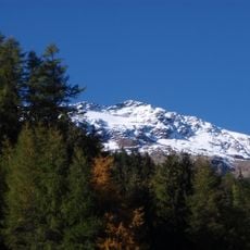
Monte Sobretta
7.1 km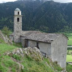
Sant'Agnese
11.2 km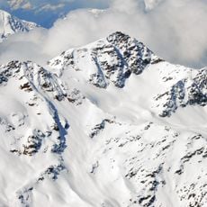
Monte Confinale
11.6 km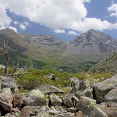
Pizzo Dosdè
10.2 km
Monte Vallecetta
3.8 km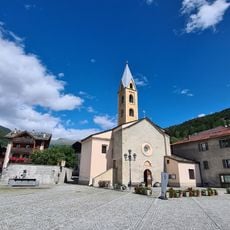
Sant'Antonio Abate church
4.5 km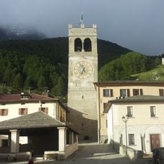
Torre della Bajona
4.8 km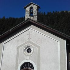
Chiesa della Visitazione della Beata Vergine Maria
3.1 km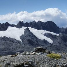
Cresta di Réit
7 km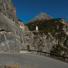
Torre sud
8.9 km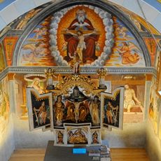
Santissima Trinità (Valfurva)
5.6 km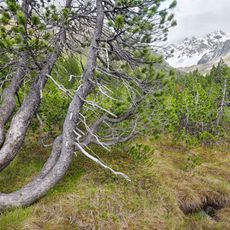
Cime Redasco
7.4 km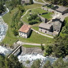
Ferriera Corneliani
6.5 km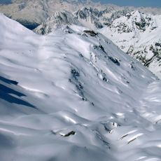
Cima Ovest di Plator
11.7 km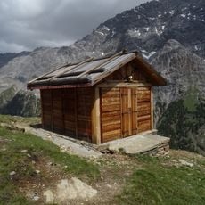
Nuovo bivacco Costantini
10.4 km
Cime di Plator
11.8 km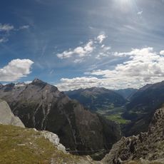
Cima di Réit
8.1 km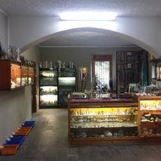
Museo Mineralogico Naturalistico Valli di Bormio
5.3 km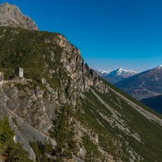
Torre nord
9 km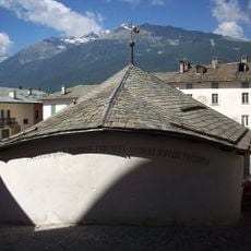
Kuerc
4.7 km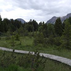
Riserva regionale Paluaccio di Oga
4.9 km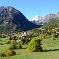
Monte delle Scale
8.6 km
Rifugio Falk
8.7 kmVisited this place? Tap the stars to rate it and share your experience / photos with the community! Try now! You can cancel it anytime.
Discover hidden gems everywhere you go!
From secret cafés to breathtaking viewpoints, skip the crowded tourist spots and find places that match your style. Our app makes it easy with voice search, smart filtering, route optimization, and insider tips from travelers worldwide. Download now for the complete mobile experience.

A unique approach to discovering new places❞
— Le Figaro
All the places worth exploring❞
— France Info
A tailor-made excursion in just a few clicks❞
— 20 Minutes