Rocca Pietore, Italian comune
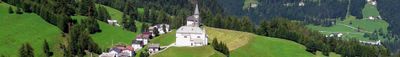
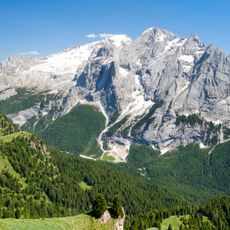
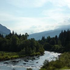
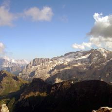
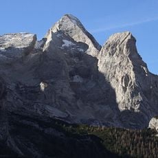
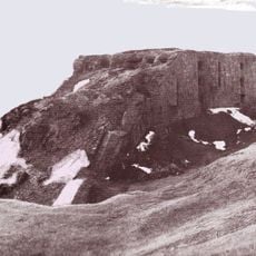
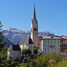
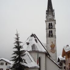
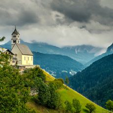
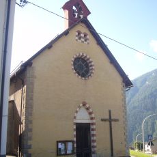
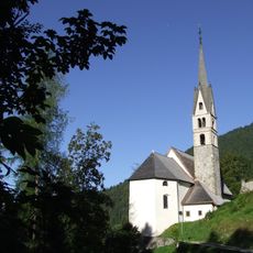
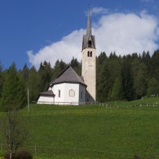
Rocca Pietore is a small mountain village in the Province of Belluno, situated at the foot of Marmolada, the highest peak in the Dolomites. The town features old stone buildings and narrow streets surrounded by tall rocky cliffs and dense forests that shape its mountain character.
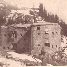
The area was originally a military post established by the Longobards, with a fortress called Rocca Bruna at the town center. Later the village came under Venetian control from the 1400s until Napoleon's time, when Venice granted it considerable local autonomy to manage its own affairs.
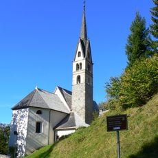
Rocca Pietore takes its name from a tower that once stood in the village square, serving as a protection symbol for the community. Today visitors experience living Ladin culture through traditional dances, folk music, and the work of local blacksmiths and woodcrafters who maintain ancestral techniques.
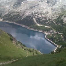
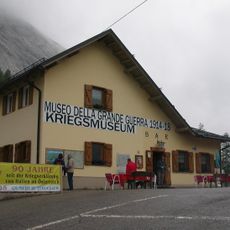
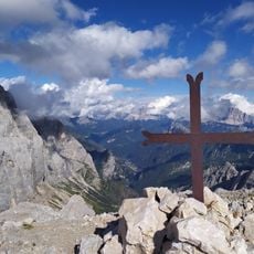
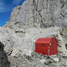
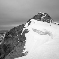
Visitors can come year-round, with winter offering skiing and snowboarding while summer invites hiking and mountain exploration. The information center in Sottoguda provides maps and guides, and the cable car from Malga Ciapela opens access to the Marmolada area with many trails and attractions suitable for different skill levels.
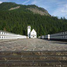
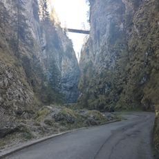
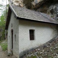
The Serrai di Sottoguda is a deep gorge carved by nature over thousands of years, featuring steep walls, cascading waterfalls, and small chapels along a two-kilometer route. This natural passage is connected to local legends and feels like a secret corridor carved between the rocks.
The community of curious travelers
AroundUs brings together thousands of curated places, local tips, and hidden gems, enriched daily by 60,000 contributors worldwide.