San Valentino in Abruzzo Citeriore, Mountain commune in Province of Pescara, Italy
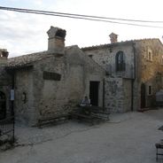
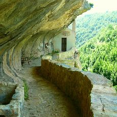
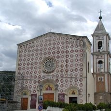
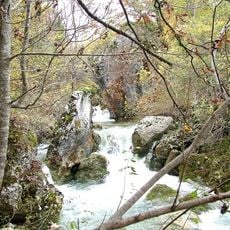
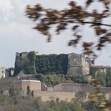
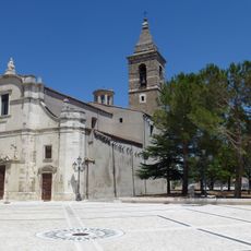
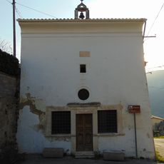
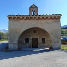
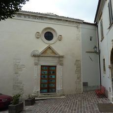
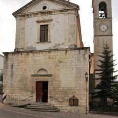
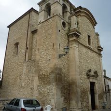
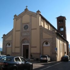
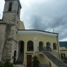
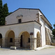
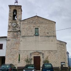
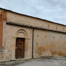
San Valentino in Abruzzo Citeriore is a mountain commune nestled between the Orta and Lavino rivers in the Abruzzo region. The village sits within a national park, featuring a parish church designed by a celebrated architect and surrounded by rugged countryside.
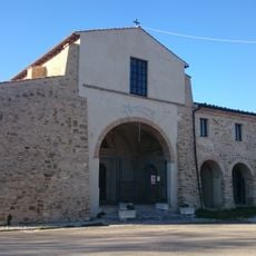
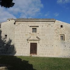
The settlement emerged in the 11th century with a different name and took its current identity after the discovery of significant religious remains. This finding transformed how the place was understood and named.
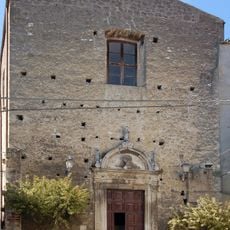
The parish church displays works by local and regional artists, housing sacred remains that hold deep meaning for the community. Visitors can see how religious devotion shapes the visual character of the place.
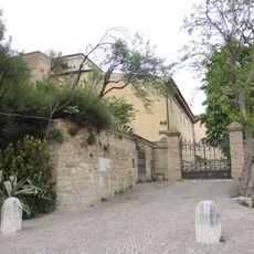
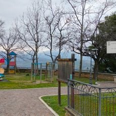
The town is accessible via exits on the A25 motorway, which connects the region to the broader Italian highway network. Since the terrain is hilly, wearing comfortable walking shoes helps when exploring the area on foot.
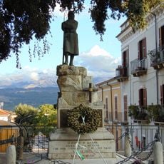
Every November, a festival takes place that celebrates regional traditions and local customs through parades and public gatherings. The event draws residents together to honor practices that have roots in the community's past.
Location: Province of Pescara
Capital city: San Valentino in Abruzzo Citeriore
Elevation above the sea: 450 m
Shares border with: Abbateggio, Bolognano, Scafa, Caramanico Terme
Website: http://comune.sanvalentino.gov.it
GPS coordinates: 42.23333,13.98333
Latest update: December 6, 2025 16:04
Abruzzo brings together medieval villages, Roman sites, and mountain landscapes. Rocca Calascio rises to 1,460 meters (4,790 feet), offering views across the region from its ancient fortress walls. Gran Sasso and Majella national parks welcome hikers to explore trails through mountain terrain, where...
Hermitage of San Bartolomeo in Legio
7.3 km
Basilica of the Holy Face
6.8 km
Chiesa di San Tommaso Becket
5.5 km
Parco territoriale attrezzato Sorgenti solfuree del Lavino
3.2 km
Riserva regionale Valle dell'Orta
6.1 km
Caracciolo Castle
6.3 km
Castello Gizzi
4.8 km
San Domenico
6.4 km
Santa Maria delle Grazie
6.2 km
Sant'Eustachio
6.3 km
Casa Michetti
6.5 km
Hermitage of Sant'Angelo (Lettomanoppello)
6.4 km
Madonna delle Grazie
6 km
Oratorio di Santa Maria della Croce
6.1 km
San Rocco
6.7 km
Chiesa della Madonna degli Angeli
4.7 km
War memorial in Tocco da Casauria
6.2 km
Ecomuseo del paleolitico della valle Giumentina
6.5 km
Santa Maria Entroterra
2.4 km
Sant'Antonio Abate
2.5 km
Centro d'arte e cultura Alberto Di Giovanni
4 km
Santa Maria Assunta
6.9 km
Santa Maria del Balzo
5.3 km
Chiesa di Sant'Antonio di Padova
5.6 km
Santo Stefano
4.7 km
Villa Comunale
4.7 km
San Giovanni Battista e San Vincenzo
5.7 km
Museo dei Fossili e delle Ambre
429 mVisited this place? Tap the stars to rate it and share your experience / photos with the community! Try now! You can cancel it anytime.
Discover hidden gems everywhere you go!
From secret cafés to breathtaking viewpoints, skip the crowded tourist spots and find places that match your style. Our app makes it easy with voice search, smart filtering, route optimization, and insider tips from travelers worldwide. Download now for the complete mobile experience.
A unique approach to discovering new places❞
— Le Figaro
All the places worth exploring❞
— France Info
A tailor-made excursion in just a few clicks❞
— 20 Minutes