
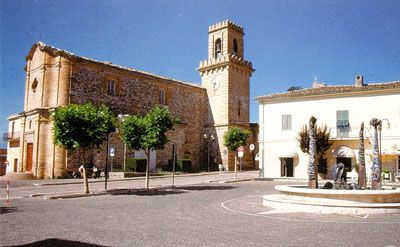
Torricella Sicura, Italian comune
Location: Province of Teramo
Elevation above the sea: 437 m
Shares border with: Campli, Cortino, Rocca Santa Maria, Teramo, Valle Castellana
Website: http://comune.torricellasicura.te.it
GPS coordinates: 42.66000,13.65806
Latest update: March 14, 2025 21:59
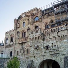
Della Monica castle
3 km
Necropolis of Campovalano
7.3 km
Roman amphitheatre of Teramo
3.7 km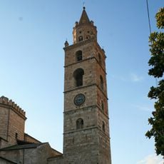
Cathedral tower of Teramo
3.7 km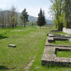
Necropolis of Ponte Messato
2 km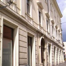
Biblioteca regionale Melchiorre Dèlfico
3.5 km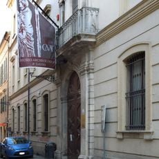
Museo Civico Archeologico 'Francesco Savini'
3.6 km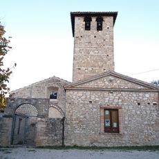
San Pietro
7.8 km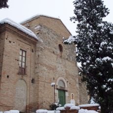
Chiesa e convento dei Cappuccini
3.2 km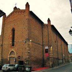
San Domenico
3.5 km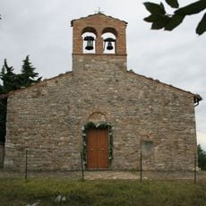
Chiesa di Santa Maria de Praediis
2.1 km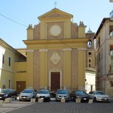
Chiesa di Sant'Agostino
3.7 km
Palazzo Delfico
3.5 km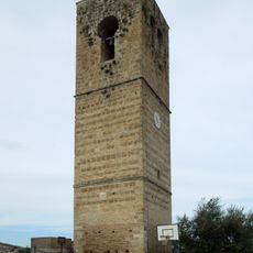
Torre del Melatino
7 km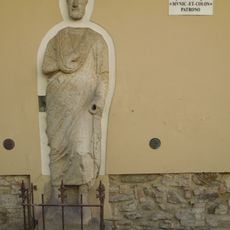
Statua romana di Sor Paolo Proconsole
3.6 km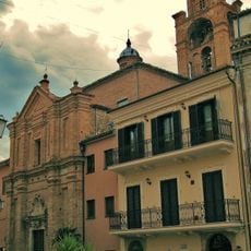
Chiesa del Santo Spirito
3.6 km
Chiesa di San Bartolomeo
3.2 km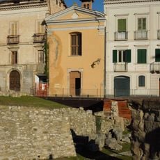
Chiesa di San Bartolomeo
3.3 km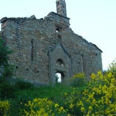
San Flaviano
10.2 km
San Paolo
453 m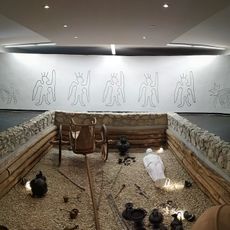
Necropolis of Campovalano
7.3 km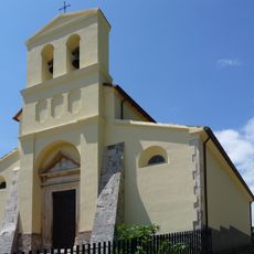
Santa Maria Assunta
3.1 km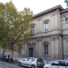
Civic Museum of Teramo
3.2 km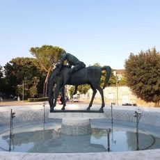
Monument to the fallen of all wars
3.2 km
Giardini "Carino Gambacorta"
3.3 km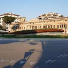
Sala Ipogea
3.3 km
Torre del Melatino
7 km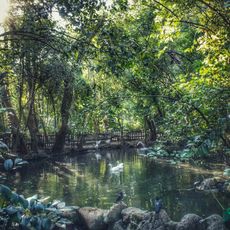
Villa comunale Stefano Bandini
3.2 kmVisited this place? Tap the stars to rate it and share your experience / photos with the community! Try now! You can cancel it anytime.
Discover hidden gems everywhere you go!
From secret cafés to breathtaking viewpoints, skip the crowded tourist spots and find places that match your style. Our app makes it easy with voice search, smart filtering, route optimization, and insider tips from travelers worldwide. Download now for the complete mobile experience.

A unique approach to discovering new places❞
— Le Figaro
All the places worth exploring❞
— France Info
A tailor-made excursion in just a few clicks❞
— 20 Minutes