San Dorligo della Valle, Italian comune
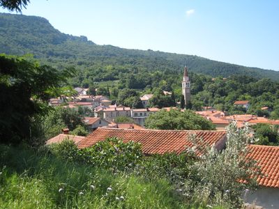
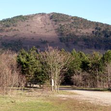
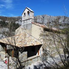
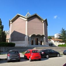
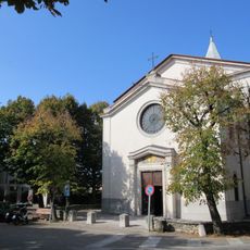
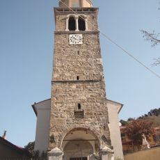
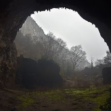
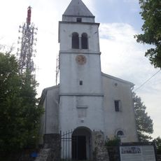
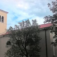
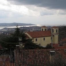
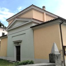
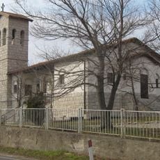
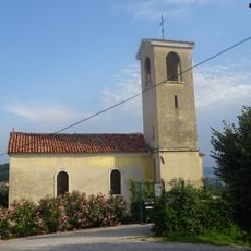
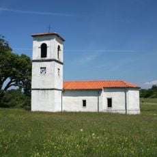
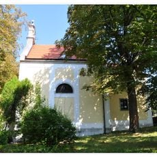
San Dorligo della Valle is a small Italian commune near the Slovenian border in the Trieste province, spanning hilly terrain with fields and vineyards. The settlement consists of several neighborhoods including San Giuseppe della Chiusa and Bagnoli della Rosandra, and is defined by the notable Val Rosandra nature reserve where the river flows through valleys bordered by white limestone cliffs.
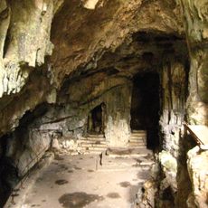
The region was settled in prehistoric times and conquered by Romans in the 2nd century BC, who built an aqueduct to supply water to Trieste. Later ruled by the Venetian Republic and the Habsburg Empire, it developed a distinctive mixed cultural character that persists today.
San Dorligo della Valle displays a blend of Italian and Slovenian cultural identity visible in bilingual signs and local habits throughout the community. The Majenca festival in May brings people together to celebrate spring with traditional music, dances, and foods from both cultures.
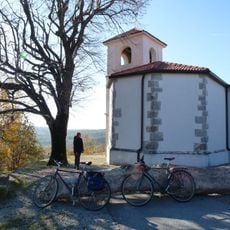
The Val Rosandra nature reserve is the main destination for visitors with developed trails along the river and up to the rock cliffs for climbers. The village of Bagnoli della Rosandra is easily accessible and offers a small restaurant for rest, while several border crossings to Slovenia enable cross-border exploration.
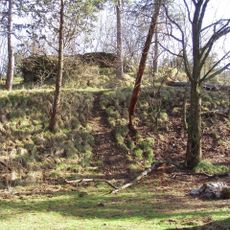
Bagnoli della Rosandra hosts the Premuda refuge at just 81 meters above sea level, one of Italy's lowest mountain shelters situated on the Via Alpina hiking route. This alpine network unusually connects low-lying shelters here with mountain terrain, reflecting the region's unique geographical position on the border.
The community of curious travelers
AroundUs brings together thousands of curated places, local tips, and hidden gems, enriched daily by 60,000 contributors worldwide.