Paularo, Italian comune
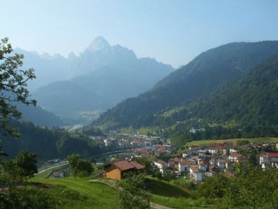
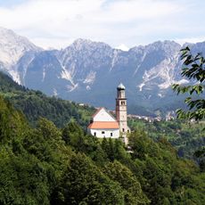
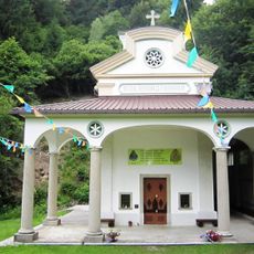
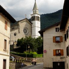
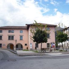
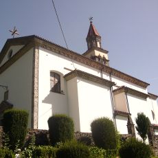
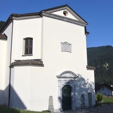
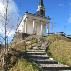
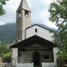
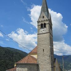
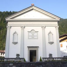
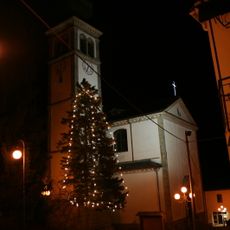
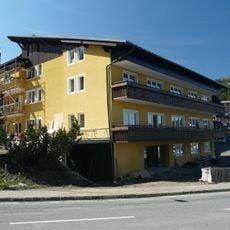
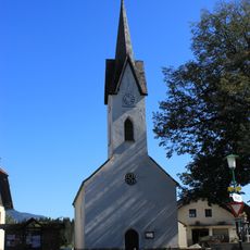
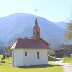
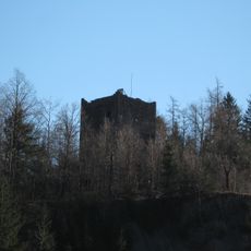
Paularo is a small village in Friuli Venezia Giulia surrounded by mountains, forests, and meadows. The town features stone houses with red tile roofs, spacious squares like Piazza Julia and Piazza IV Novembre, and several churches from the 1700s containing painted frescoes and historic wooden altars.
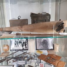
Human settlement in the area dates back about 40,000 years, evidenced by stone tools from the Middle Paleolithic. During Roman times the region served as grazing land, and later under Venetian rule the forests supplied timber for shipbuilding, bringing prosperity to Paularo.
Paularo developed over centuries as a community shaped by mountain farming and traditional crafts. Visitors can experience this heritage through annual celebrations like the Femenate in January, an ancient fire ritual with corn, and by tasting local specialties such as Cjarsons and Frico, which are still prepared according to traditional recipes.
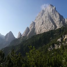
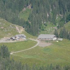
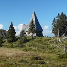
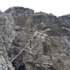
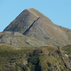
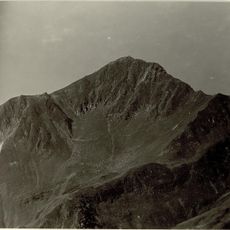
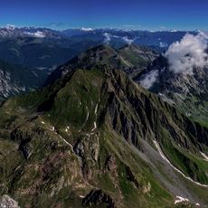
The village is well suited for multi-day visits, with walking trails of varying difficulty and mountains to explore. Main routes are well marked for navigation, and alpine huts at higher elevations like Zermula and Lodin Alta offer local cheese products during summer months.
In the Zermula forest grows an unusual six-trunked spruce about 180 years old that spreads across the ground while producing hundreds of new shoots. This singular natural phenomenon demonstrates how alpine vegetation adapts to harsh mountain conditions.
The community of curious travelers
AroundUs brings together thousands of curated places, local tips, and hidden gems, enriched daily by 60,000 contributors worldwide.