
Stregna, Italian comune
Location: ente di decentramento regionale di Udine
Elevation above the sea: 404 m
Shares border with: Grimacco, Prepotto, San Leonardo, Kanal ob Soči
Website: http://comune.stregna.ud.it
GPS coordinates: 46.12694,13.57722
Latest update: March 11, 2025 01:55

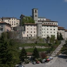
Santuario della Beata Vergine di Castelmonte
5.7 km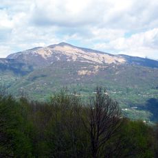
Matajur
10.2 km
Monte Cum
4.9 km
San Volfango church
6.5 km
Monte San Martino
5 km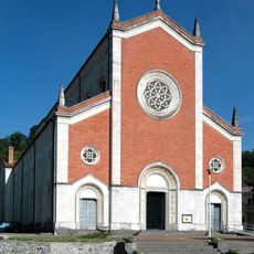
Church of St. Peter the Apostle
6.9 km
Santa Maria Church
3.3 km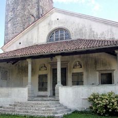
Chiesa di San Leonardo Abate
3.4 km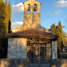
Church of St. Quirinus
7.3 km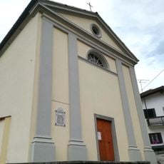
Santi Ermacora e Fortunato
5.2 km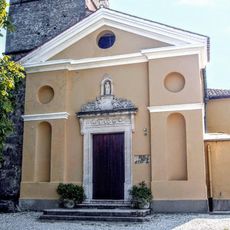
San Paolo Apostolo
484 m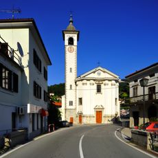
Assumption of Mary Parish Church
6.3 km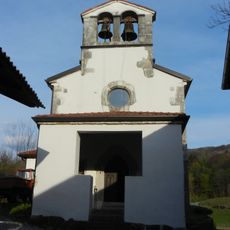
Cerkev svetega Kancijana, Britof
3.2 km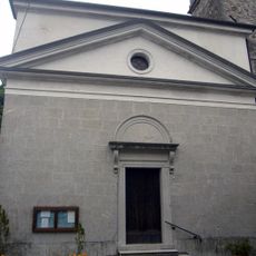
San Floriano
8.1 km
Rojstna hiša Simona Gregorčiča
12 km
SMO Slovensko multimedialno okno
7.1 km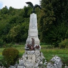
Monument to Riccardo Giusto
8.8 km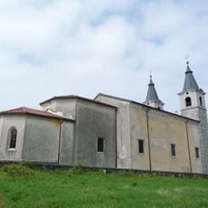
St. Zeno and Holy Name of Mary Church
4.5 km
Gregorčič House
12 km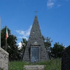
War memorial
6.6 km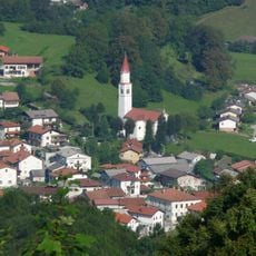
St. Leonard's Parish Church
11.4 km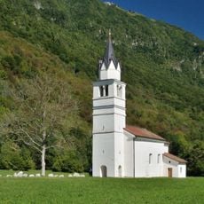
St. Brice Church
11.6 km
Holy Spirit Parish Church
11.6 km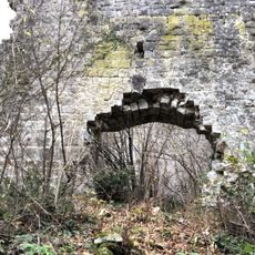
Castle of Gronumbergo
8 km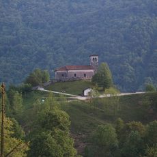
St. Lawrence's Church
11.2 km
St. Lucy's Parish Church
13.2 km
St. Martin's Parish Church
8.8 km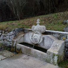
Fonte Cognar
7.6 kmVisited this place? Tap the stars to rate it and share your experience / photos with the community! Try now! You can cancel it anytime.
Discover hidden gems everywhere you go!
From secret cafés to breathtaking viewpoints, skip the crowded tourist spots and find places that match your style. Our app makes it easy with voice search, smart filtering, route optimization, and insider tips from travelers worldwide. Download now for the complete mobile experience.

A unique approach to discovering new places❞
— Le Figaro
All the places worth exploring❞
— France Info
A tailor-made excursion in just a few clicks❞
— 20 Minutes