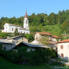
Monte Cum, Mountain summit in Friuli Venezia Giulia, Italy
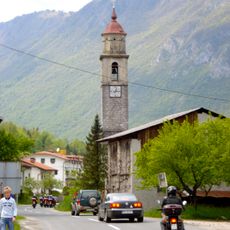
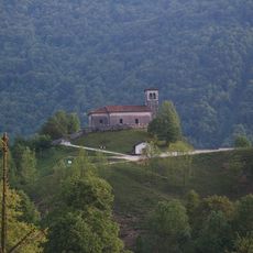
Monte Cum is a mountain in the Julian Alps and Prealps reaching 917 meters in elevation with a prominence of 264 meters. The summit sits in Friuli Venezia Giulia and connects to nearby towns through a network of marked hiking trails.
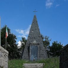
In World War I Monte Cum was a strategic summit of the Italian front held by the 2nd Army, part of the last line of defence in depth. On 26 October 1917, at 11 a.m., troops of the 8th Leibgrenadier Regiment took the summit, defended by the Elba Brigade, during the Battle of Caporetto; the survivors withdrew toward Castelmonte and Monte Spik. Dug tunnels and artillery platforms from that period remain visible.
The name comes from the Slovene word holm, meaning hill, contracted over time into hum. The mountain lies between the villages of Tribil Superiore, in the municipality of Stregna, and San Volfango, in Drenchia, near the Slovenian border, and its Slovene name Hum is still used locally.
The marked route is the CAI trail no. 747, part of the Sentiero Italia. Since 2016 the Monte Cum Great War path forms a loop from Tribil Superiore along the southern ridge to the summit, on to the hamlet of Rucchin and back through the northern woods, taking about three and a half hours. Along the way are caves, artillery platforms, trenches of the 2nd Army and grenade craters.
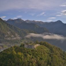
The name comes from the Slovene word holm, meaning hill, contracted over time to hum. The summit's trunco-pyramidal shape and its isolation from nearby reliefs make it easy to pick out from the valleys below and from the Friulian plain.
The community of curious travelers
AroundUs brings together thousands of curated places, local tips, and hidden gems, enriched daily by 94,394 contributors worldwide.