
Taipana, Italian comune
Location: ente di decentramento regionale di Udine
Capital city: Taipana
Elevation above the sea: 478 m
Shares border with: Attimis, Faedis, Lusevera, Nimis, Kobarid
Website: http://comune.taipana.ud.it
GPS coordinates: 46.25000,13.33333
Latest update: March 15, 2025 17:08
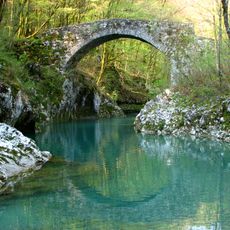
Napoleon Bridge
8.5 km
Parco naturale delle Prealpi Giulie
9.9 km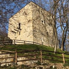
Castello Partistagno
8.1 km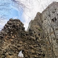
Castello Inferiore
7.1 km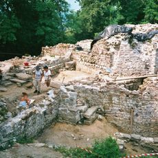
Castello della Motta
9.7 km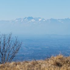
Monte Ioànaz
9.4 km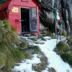
Bivacco Franco Costantini
12.6 km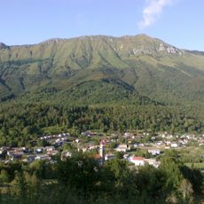
Stol
9.8 km
Santi Gervasio e Protasio
7.1 km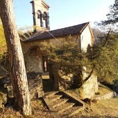
Chiesa di Santa Maria Maddalena
5 km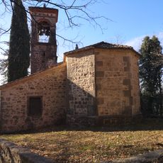
Chiesa della Santissima Trinità
3.6 km
Duomo di San Pietro Apostolo (Tarcento, Italy)
9.4 km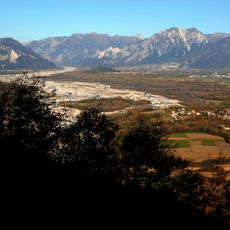
Monte Campeon
9.8 km
Chiesa di Sant'Andrea
7.4 km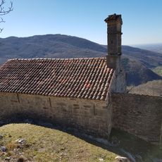
Santa Maria Maddalena in Rupis church
8.6 km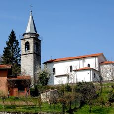
Chiesa dei Santi Giovanni Battista e Lucia
7.6 km
San Giorgio Martire
5.8 km
Chiesa di San Michele Arcangelo
3 km
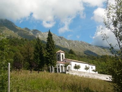
San Mattia Apostolo
650 m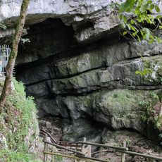
Abisso di Vigant / Brezno Vizont
3.4 km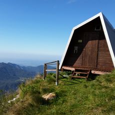
Bivak pod Muzcem
7.5 km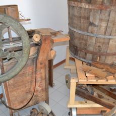
Lusevera Ethnographic Museum
5.7 km
Palazzo Frangipane
9.5 km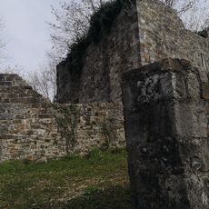
Castello Superiore
7.2 km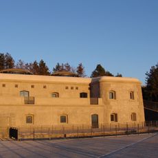
Bernadia Fortress
6.2 km
War memorial
9.5 km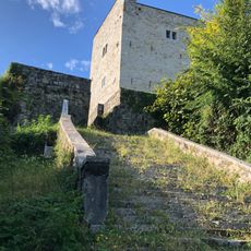
Castle of Cucagna
10 km
Sts. Primus and Felician Church
7.9 kmVisited this place? Tap the stars to rate it and share your experience / photos with the community! Try now! You can cancel it anytime.
Discover hidden gems everywhere you go!
From secret cafés to breathtaking viewpoints, skip the crowded tourist spots and find places that match your style. Our app makes it easy with voice search, smart filtering, route optimization, and insider tips from travelers worldwide. Download now for the complete mobile experience.

A unique approach to discovering new places❞
— Le Figaro
All the places worth exploring❞
— France Info
A tailor-made excursion in just a few clicks❞
— 20 Minutes