Badia Tedalda, Italian comune
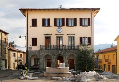
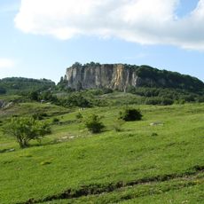
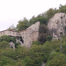
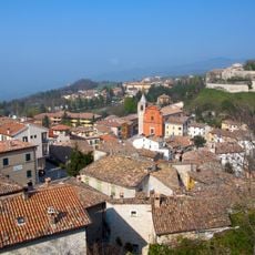
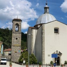
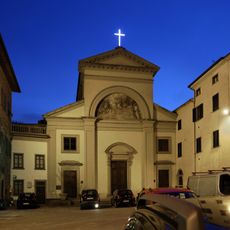
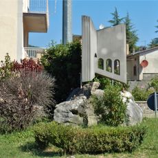
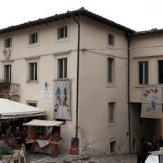
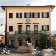
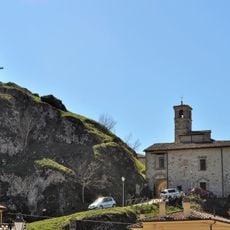
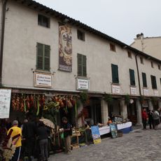
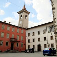
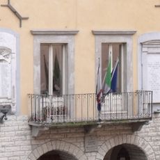
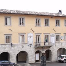
Badia Tedalda is a small commune in the Province of Arezzo in Tuscany, Italy, with narrow streets and stone houses set on a hill about 700 meters high. A church stands in the center beside a small square where residents gather, and green fields and forests extend across the surrounding landscape.
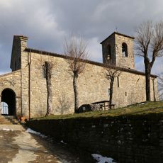
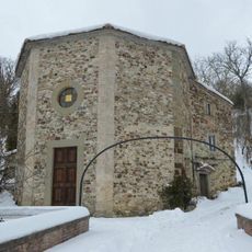
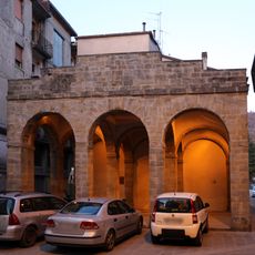
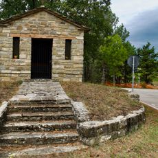
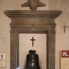
The monastery that gave the place its name dates back several centuries and shaped the community as a religious and social center. Over time, the settlement developed with simple architecture built from local stone around this core and has preserved its rural tradition to the present day.
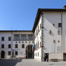
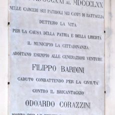
The name Badia Tedalda refers to an ancient monastery that shaped the town's character. People celebrate Archangel Michael on September 29 with a local festival where families gather for meals and the church is decorated with care.
The best way to arrive is by car, as public transportation is limited in the area. Once there, walking or cycling are ideal ways to explore the quiet streets and rural surroundings at a relaxed pace.
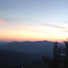
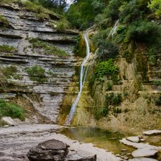
Local stories tell of strange lights appearing in the mountains at night, and old tales speak of travelers who found shelter in the area during past times. These legends add a touch of mystery to the quiet place that intrigues many visitors.
The community of curious travelers
AroundUs brings together thousands of curated places, local tips, and hidden gems, enriched daily by 60,000 contributors worldwide.