Pieve Santo Stefano, Mountain commune in Valtiberina, Italy
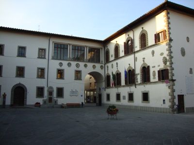
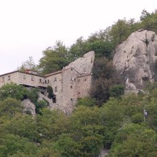
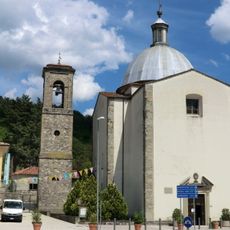
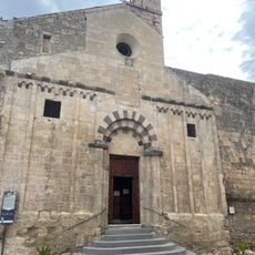
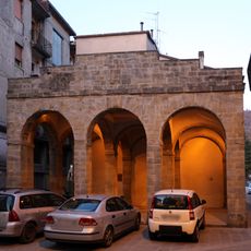
Pieve Santo Stefano is a commune in the Province of Arezzo located in the Valtiberina valley region, set among rolling hills and mountains. The town sits at an elevation of around 430 meters and features traditional stone buildings arranged along narrow streets.
During World War II, German forces heavily damaged the town in 1944, forcing people to leave and destroying many historic structures. The rebuilding that followed after the war changed the appearance of the settlement.
The National Diary Archive gathers personal writings from people across different time periods, preserving their everyday stories and daily thoughts. The collection reveals how residents documented their lives and shows what mattered to them in their own words.
The town can be reached by regional buses from Florence to the west or from Arezzo to the southwest, with Florence being the farther option. Traveling by bus gives visitors a good way to explore the mountain valleys that surround the area.
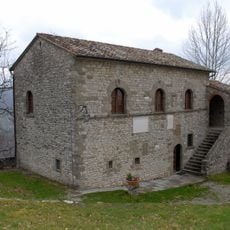
The Museum of Diaries displays personal writings on unusual materials, including a bedsheet where someone recorded their entire life story. These objects show how people found creative ways to preserve their memories.
Location: Province of Arezzo
Capital city: Pieve Santo Stefano
Elevation above the sea: 431 m
Shares border with: Badia Tedalda, Caprese Michelangelo, Sansepolcro, Chiusi della Verna, Anghiari, Verghereto
Website: http://pievesantostefano.net
GPS coordinates: 43.67250,12.04222
Latest update: December 20, 2025 12:49
Lago di Montedoglio
8.3 kmAlpe della Luna
10 km
Museo Casa Natale di Michelangelo Buonarroti
5.5 km
Eremo di Cerbaiolo
3.7 km
Little museum of the Diary
417 m
Madonna dei Lumi
591 mMonte dei Frati
10 kmPoggio dei Tre Vescovi
10.4 km
Abbaye San Martino a Tifi
4.8 km
Collegiata di Santo Stefano
385 m
Monte Loggio
13.9 km
Museo dell'acqua e del mulino
5.7 km
Biblioteca Michelangiolesca
5.5 km
Santa Maria del Colledestro
419 mArea naturale protetta di interesse locale Nuclei di Taxus Baccata di Pratieghi
7.9 kmRiserva naturale del Alta Valle del Tevere (Monte Nero)
9.9 kmRiserva naturale Formole
3.4 kmRiserva naturale del Bosco di Montalto
4.4 kmRiserva naturale Fungaia
5.5 kmRiserva naturale Poggio Rosso
4.4 kmMonumento ai caduti di Terranieri
8 km
Monumento ai Diari
568 mAntica fonte dei fossi
221 mCimitero
506 m
Fonte del tribunale
413 mMonumento ai Caduti di tutte le guerre
605 mMonumento a Giuseppe Collacchioni
566 m
Logge del Grano
412 mVisited this place? Tap the stars to rate it and share your experience / photos with the community! Try now! You can cancel it anytime.
Discover hidden gems everywhere you go!
From secret cafés to breathtaking viewpoints, skip the crowded tourist spots and find places that match your style. Our app makes it easy with voice search, smart filtering, route optimization, and insider tips from travelers worldwide. Download now for the complete mobile experience.
A unique approach to discovering new places❞
— Le Figaro
All the places worth exploring❞
— France Info
A tailor-made excursion in just a few clicks❞
— 20 Minutes