Enable Location

We need your location to show you interesting places around you

Discover nearby places

Find interesting locations and hidden gems around you

Precise directions

Get accurate directions and distances to places

Your location is never shared with other users. It's only used when you tap the location button.

Orta di Atella

Log in to your account

Start exploring — it's free

Trusted by 63,522 travelers worldwide

Continue with Google
Continue with Apple
or

We will send you a code to connect

By continuing, you accept our Terms and Conditions and our Privacy Policy

Check your inbox

We've sent a pincode in your inbox. Please enter the code below.

Discussion Reviews 1 Photos
18.8k Popularity

Orta di Atella, Italian comune

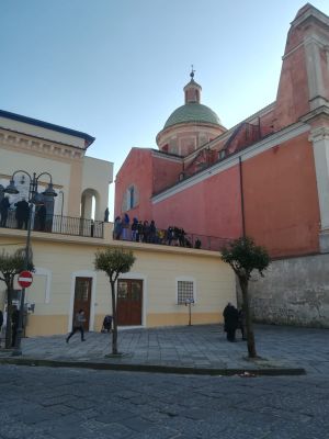
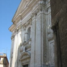
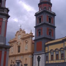
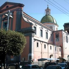
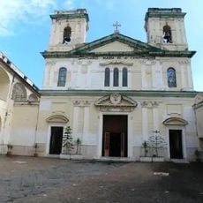
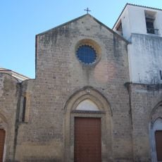
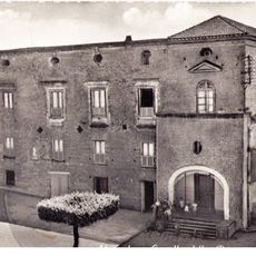
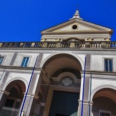
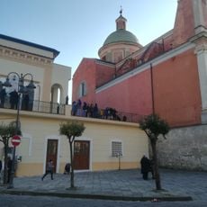
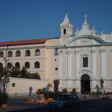
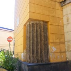
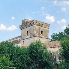
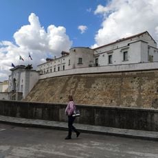
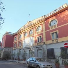
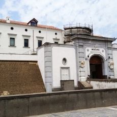
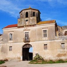
Orta di Atella is a town in the Province of Caserta, about 10 kilometers from Naples, with a population exceeding 27,000 residents. It combines old and new structures, featuring narrow medieval streets alongside modern residential areas and historic buildings such as the 1700s Palazzo San Massimo and several churches spanning different periods.

The settlement traces back to ancient times with agricultural communities that later developed into medieval villages, expanding significantly in the 1700s under various noble families. After Italian unification in 1862, the town changed its name from Castello d'Orta to Orta di Atella and was awarded a medal for civil valor in 2004 for its conduct during wartime.

The name comes from a Latin word meaning garden or cultivated land, reflecting the area's farming roots. The residents are called Ortolani, a name used for centuries that expresses a shared local identity connecting people across generations.

The town is accessible by car via the A1 highway using the Nola-Villa Literno exit, or by train at nearby stations in Frattamaggiore, Sant'Arpino, and Aversa. The historic center with its churches and Palazzo San Massimo is easy to explore on foot, with most sites within walking distance of each other.

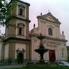
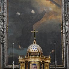
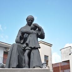
This town produced notable artists from the 1600s including Massimo Stanzione and Paolo D'co Finoglia, as well as the painter Tommaso De Vivo from the late 1700s. The cultural heritage extends to rare religious artworks such as a 1400s fresco of the Madonna of the Angels and a chapel with decorative stucco from the 1700s that remains part of the historic Franciscan complex of San Donato.

The community of curious travelers

AroundUs brings together thousands of curated places, local tips, and hidden gems, enriched daily by 60,000 contributors worldwide.

Start exploring
Capital city
Orta di Atella
Elevation above the sea
36 m
Shares border with
Marcianise, Succivo, Gricignano di Aversa, Sant'Arpino, Frattaminore, Caivano, Crispano
GPS coordinates
40.96667,14.26667
Latest update
February 16, 2026 23:20
Reviews
Share your experience

No review yet

Discussions
Start a discussion...

No discussion yet

« Orta di Atella - Italian comune » is provided by Around Us (aroundus.com). Images and texts are derived from Wikimedia project under a Creative Commons license. You are allowed to copy, distribute, and modify copies of this page, under the conditions set by the license, as long as this note is clearly visible.

Discover hidden gems everywhere you go!

From secret cafés to breathtaking viewpoints, skip the crowded tourist spots and find places that match your style. Our app makes it easy with voice search, smart filtering, route optimization, and insider tips from travelers worldwide. Download now for the complete mobile experience.

Around Us App Screenshot

A unique approach to discovering new places

Le Figaro

All the places worth exploring

France Info

A tailor-made excursion in just a few clicks

20 Minutes

Around Us
Travel Guide & Maps
Download

Send to your phone

QR Code
1

Open the camera app on your mobile.

2

Point at the QR code with your camera. A notification will appear.

3

Tap the notification to open the link.