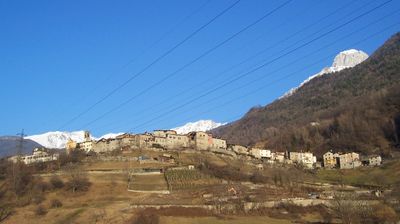
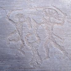
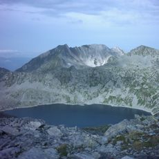
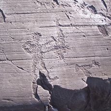
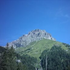
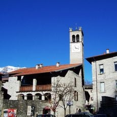
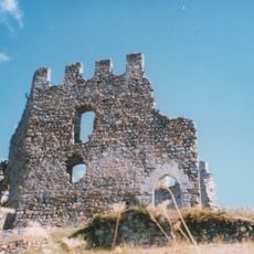
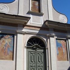
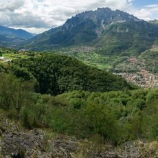
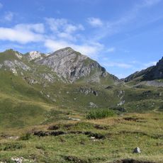
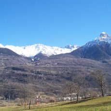
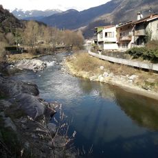
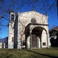
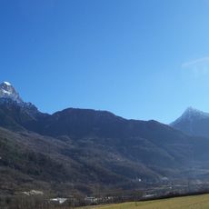
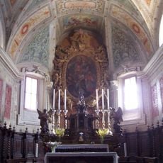
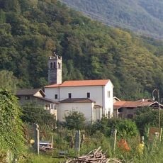
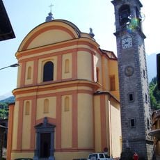
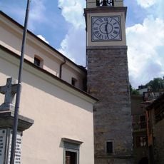
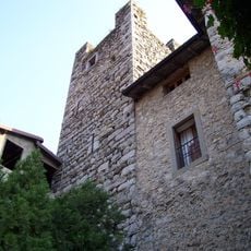
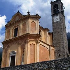
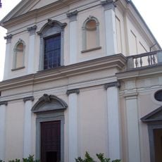
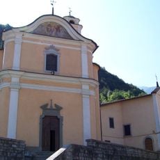
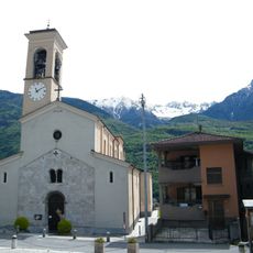
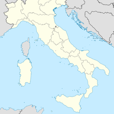
Ceto, Italian comune
Location: Province of Brescia
Capital city: Ceto
Elevation above the sea: 453 m
Shares border with: Braone, Breno, Capo di Ponte, Cerveno, Cimbergo, Valdaone, Ono San Pietro, Cevo
Website: http://comune.ceto.bs.it
GPS coordinates: 46.00333,10.35278
Latest update: March 9, 2025 10:19
Rock drawings in Valcamonica
2.3 km
Lago della Vacca
8.6 km
National Park of Rock Engravings of Naquane
2.7 km
Pizzo Badile Camuno
3.8 km
Cornone di Blumone
9.6 km
Rock art Natural reserve of Ceto, Cimbergo and Paspardo
3.3 km
Castello di Cimbergo
2.8 km
Santuario della "Via Crucis"
2.2 km
Rock art Natural reserve of Ceto, Cimbergo and Paspardo
2.1 km
Monte Frerone
7.9 km
Monte Tredenus
6.6 km
National Museum of Prehistory of Valle Camonica
3.1 km
Sante Faustina e Liberata Church
3.3 km
Monte Ferone
5.2 km
San Martino Vescovo Church
2.2 km
Church of Saints Gervasio and Protasio
990 m
Chiesa di San Maurizio
3.1 km
Santa Maria Assunta Church
2.5 km
Casa-torre
899 m
Chiesa di Sant'Andrea
109 m
San Martino Church
3.1 km
Chiesa della Purificazione della Beata Vergine Maria
1.8 km
Santo Stefano Church
3.1 km
Cima Dernal
9.5 km
Cima di Blumone
10 km
Cima Rossola
8.1 km
Cima Gellino
8.8 km
Chiesa di San Maurizio
3.1 kmReviews
Visited this place? Tap the stars to rate it and share your experience / photos with the community! Try now! You can cancel it anytime.
Discover hidden gems everywhere you go!
From secret cafés to breathtaking viewpoints, skip the crowded tourist spots and find places that match your style. Our app makes it easy with voice search, smart filtering, route optimization, and insider tips from travelers worldwide. Download now for the complete mobile experience.
A unique approach to discovering new places❞
— Le Figaro
All the places worth exploring❞
— France Info
A tailor-made excursion in just a few clicks❞
— 20 Minutes