Amandola, Italian comune
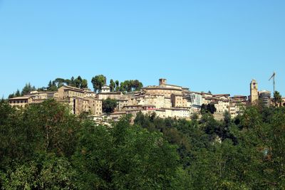
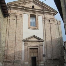
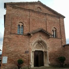
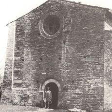
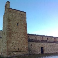
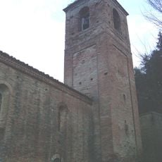
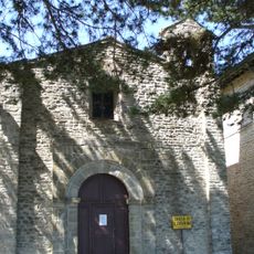
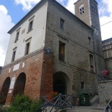
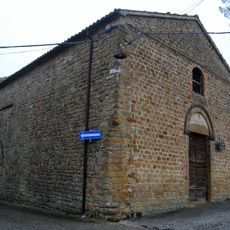
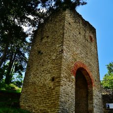
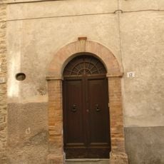
Amandola is a town in the Province of Fermo in the Marche region of Italy, situated on a hillside about 550 meters above sea level. It retains old defensive walls, towers, and gates including the Torre del Podestà from 1368 and the Porta di San Giacomo, along with churches such as Sant'Agostino in Gothic-Venetian style and the Romanesque-Gothic San Francesco church.
The town was founded in 1248 when two castles, Agello Leone and Marrubbione, merged to form an independent municipality. Over the centuries it was ruled by various powers including the Malatesta and Sforza families and later the church, each leaving their mark on its buildings and traditions.
The town centers on the veneration of Blessed Antonio Migliorati, whose feast day on January 25 brings people together for processions and church services. Local artisans continue the tradition of furniture making, using techniques passed down through generations to craft pieces that reflect the area's heritage.
The town sits roughly 70 kilometers south of Ancona and near Ascoli Piceno, making it accessible for visitors. It is surrounded by walking paths and serves as a starting point for exploring the Monti Sibillini mountains with options for hiking, climbing, and foraging in the surrounding forests.
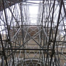
The town was struck by a significant earthquake in 2016 that caused damage, yet the community continues working actively on repairs and maintenance. This experience has revealed the resilience of residents and their determination to preserve their community's character.
The community of curious travelers
AroundUs brings together thousands of curated places, local tips, and hidden gems, enriched daily by 60,000 contributors worldwide.