Lastebasse, Italian comune
Location: Province of Vicenza
Capital city: Lastebasse
Elevation above the sea: 585 m
Shares border with: Arsiero, Folgaria, Laghi, Pedemonte, Valdastico, Lavarone, Tonezza del Cimone
Website: http://comune.lastebasse.vi.it
GPS coordinates: 45.91556,11.27139
Latest update: March 2, 2025 23:44
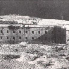
Forte Belvedere-Gschwendt
1.5 km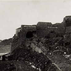
Forte Campomolon
4.9 km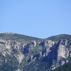
Monte Toraro
5.9 km
Spitz di Tonezza
5.8 km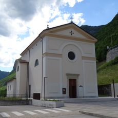
Santa Maria Assunta church
2.4 km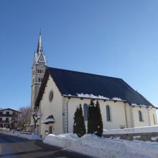
Saint Anthony of Padua church
4 km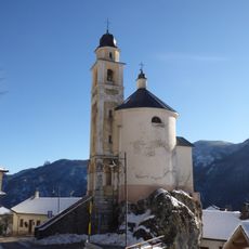
Our Lady of La Salette church
1.1 km
Saint Mark church
11 m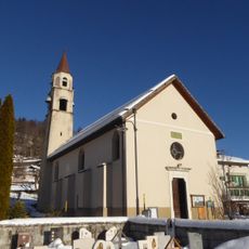
Visitation of Mary church
2.2 km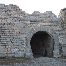
Fort Campolon
4.9 km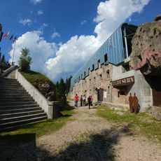
Forte Campo Luserna
4.2 km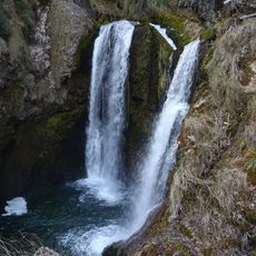
Cascata della Civetta
574 m
Saint Giovanni Gualberto church
4.9 km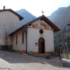
Saint Roch church
3.6 km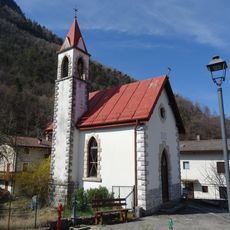
Saint Stephen church
4.3 km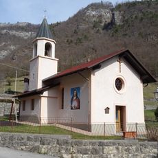
Sacred Heart church
470 m
Town hall of Luserna
4.2 km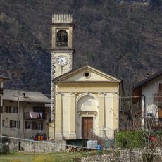
Saint Prosdocimus church
3.3 km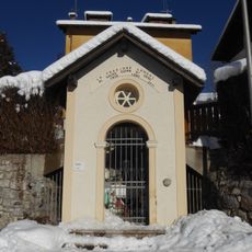
Sacred Heart of Jesus chapel
2.3 km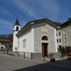
Our Lady of Lourdes church
3 km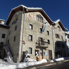
Centro di documentazione Luserna - Dokumentationszentrum Lusern
4.1 km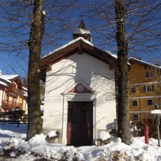
Saint Mark chapel
1.5 km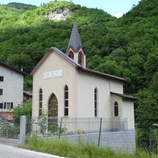
Saint Roch oratory
1.1 km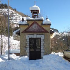
Saint Anthony of Padua chapel
1.4 km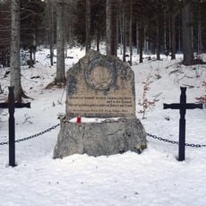
Memorial stone to the 59th Austrian Regiment - Rainier-Salzburg
2.7 km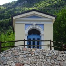
Holy Cross oratory
918 m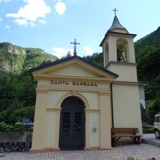
Saint Barbara oratory
344 m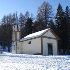
Saints Firmus and Rusticus oratory
2.3 kmVisited this place? Tap the stars to rate it and share your experience / photos with the community! Try now! You can cancel it anytime.
Discover hidden gems everywhere you go!
From secret cafés to breathtaking viewpoints, skip the crowded tourist spots and find places that match your style. Our app makes it easy with voice search, smart filtering, route optimization, and insider tips from travelers worldwide. Download now for the complete mobile experience.

A unique approach to discovering new places❞
— Le Figaro
All the places worth exploring❞
— France Info
A tailor-made excursion in just a few clicks❞
— 20 Minutes