
Valdastico, Italian comune
Location: Province of Vicenza
Elevation above the sea: 405 m
Shares border with: Arsiero, Cogollo del Cengio, Lastebasse, Luserna, Pedemonte, Roana, Rotzo, Tonezza del Cimone
Website: http://comune.valdastico.vi.it
GPS coordinates: 45.88333,11.36667
Latest update: March 4, 2025 04:23
Fortress Campo Luserna
5.4 km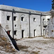
Forte Campolongo
1.8 km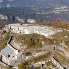
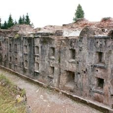
Forte Corbin
5.8 km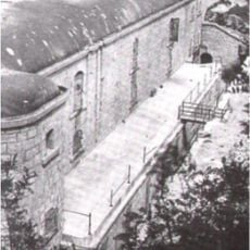
Forte Casa Ratti
5.2 km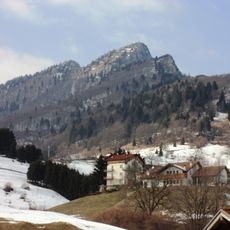
Spitz di Tonezza
3.8 km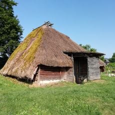
Bostel
3.5 km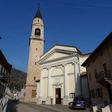
Santa Gertrude Church
3.4 km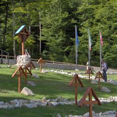
Austro-Hungarian military cemetery of Tonezza del Cimone
4.7 km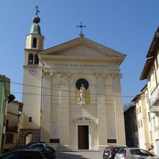
Saint Peter church
378 m
Saint Anthony of Padua church
5.5 km
Saint Anthony of Padua church
3.9 km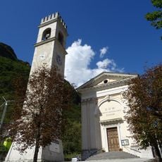
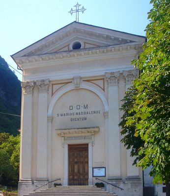
Saint Mary Magdalene church
2.9 km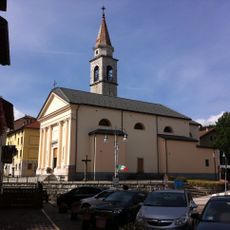
Saint Christopher church
3.3 km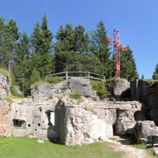
Oberwiesen outpost
5.4 km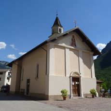
Saint John of Nepomuk church
2.1 km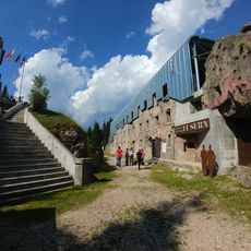
Forte Campo Luserna
5.4 km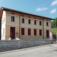
Museo archeologico dell'Altopiano dei Sette Comuni
3 km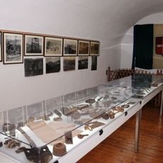
Museo Storico Militare Forte di Punta Corbin
5.8 km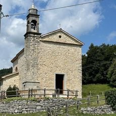
Saint Margaret church
3 km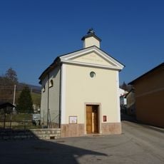
Saint Roch church
3 km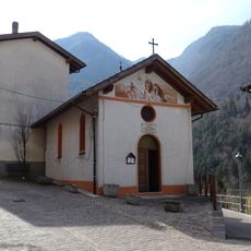
Saint Roch church
4.7 km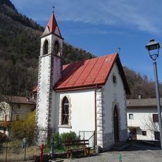
Saint Stephen church
3.9 km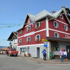
Town hall of Luserna
5.4 km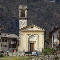
Saint Prosdocimus church
4.9 km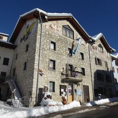
Centro di documentazione Luserna - Dokumentationszentrum Lusern
5.5 km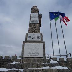
Monumento ai caduti austriaco al Forte Campo Luserna
5.4 km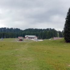
Saint Francis oratory
2.6 km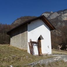
Saint Roch church
2.5 kmVisited this place? Tap the stars to rate it and share your experience / photos with the community! Try now! You can cancel it anytime.
Discover hidden gems everywhere you go!
From secret cafés to breathtaking viewpoints, skip the crowded tourist spots and find places that match your style. Our app makes it easy with voice search, smart filtering, route optimization, and insider tips from travelers worldwide. Download now for the complete mobile experience.

A unique approach to discovering new places❞
— Le Figaro
All the places worth exploring❞
— France Info
A tailor-made excursion in just a few clicks❞
— 20 Minutes