Lauria

Log in to your account

AroundUs is a community-driven map of interesting places, built by curious explorers like you. It grows with every review, story, and photo you share.
Connect to save your favorite spots, contribute locations, and create personalized routes.
Continue with Google
Continue with Apple
Continue with X
Continue with Facebook
Continue with email
By continuing, you accept our Terms and Conditions and our Privacy Policy
Create an account
Add to collection
Map
Suggest a change
Share

Lauria, Administrative commune in Basilicata, Italy

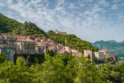
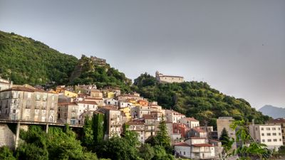
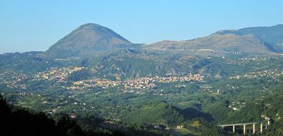
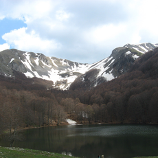
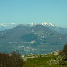
Lauria is a municipality in Basilicata situated on elevated terrain at around 430 meters above sea level, organized into two distinct districts: the historic upper section and the newer lower settlement. The layout reflects how the town grew from its medieval core into a larger modern community.

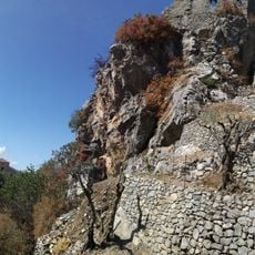
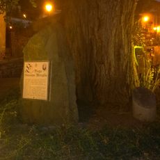
The settlement began in the 10th century near what is now the Madonna dell'Armo Sanctuary, with its name coming from the word lavra, which points to early monastic communities in the area. French forces under General Masséna destroyed it completely in 1806 as punishment for supporting the Bourbon royal family.

The Mother Church of Saint Nicholas and the fifteenth-century Church of Saint James contain artworks that visitors can still see today, showing what mattered most to people who lived here.

The town connects to the A2 motorway through exits at Lauria Nord and Lauria Sud, making it straightforward to reach by car. The nearest major airport is roughly 130 kilometers away, providing access for those traveling from farther distances.

The location held importance in medieval times because of its proximity to a Benedictine monastery founded by monks whose spiritual presence shaped the region for centuries. This monastic past remains visible today in the layout and older structures of the place.

Location: province of Potenza

Capital city: Lauria

Elevation above the sea: 430 m

Shares border with: Castelsaraceno, Lagonegro, Latronico, Moliterno, Tortora, Castelluccio Superiore, Laino Borgo, Nemoli, Trecchina, Castelluccio Inferiore

Website: http://comune.lauria.pz.it

GPS coordinates: 40.04722,15.83583

Latest update: December 14, 2025 17:55

Photos
Reviews

Visited this place? Tap the stars to rate it and share your experience / photos with the community! Try now! You can cancel it anytime.

« Lauria - Administrative commune in Basilicata, Italy » is provided by Around Us (aroundus.com). Images and texts are derived from Wikimedia project under a Creative Commons license. You are allowed to copy, distribute, and modify copies of this page, under the conditions set by the license, as long as this note is clearly visible.

Discover hidden gems everywhere you go!

From secret cafés to breathtaking viewpoints, skip the crowded tourist spots and find places that match your style. Our app makes it easy with voice search, smart filtering, route optimization, and insider tips from travelers worldwide. Download now for the complete mobile experience.

Around Us App Screenshot

A unique approach to discovering new places

Le Figaro

All the places worth exploring

France Info

A tailor-made excursion in just a few clicks

20 Minutes