Campitello di Fassa, Italian comune
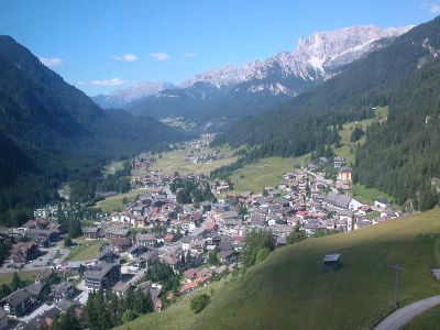
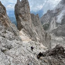
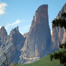
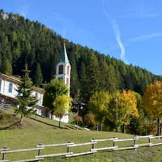
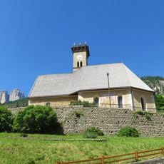
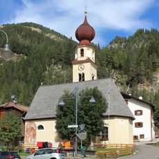
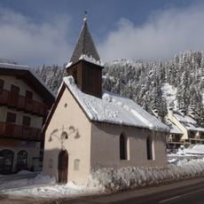
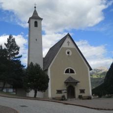
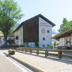
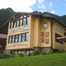
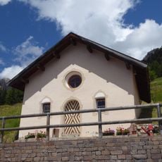
Campitello di Fassa is a mountain commune in the Fassa Valley, in Trentino, sitting at around 1,100 meters (3,600 feet) above sea level in the heart of the Dolomites. Stone houses with wooden balconies line the village streets, and tall limestone rock faces rise steeply on both sides of the valley.
The Fassa Valley was settled during the medieval period by Ladin-speaking communities that lived from farming and herding on the mountain slopes. In the 19th century, the first mountaineers arrived in the area, and Campitello gradually became a base for climbing and mountain travel.
The local people speak Ladin, a Rhaeto-Romance language that has survived in this valley for many centuries. Signs, shop names, and local festivals reflect this living language, giving the village a feel unlike most other places in northern Italy.
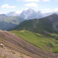
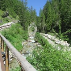
A cable car departs from the center of the village and carries visitors up to Col Rodella, where a network of hiking trails fans out in different directions. Conditions vary significantly between summer and winter, so it is worth checking trail or lift availability before heading out.
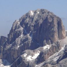
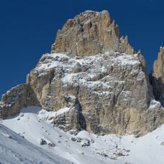
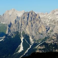
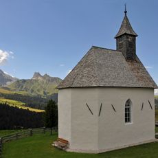
The rock that makes up the peaks around Campitello was formed on the ocean floor from coral reefs and marine organisms during the Triassic period. This origin explains the pale, almost white color of the cliffs, which sets these mountains apart from the darker granite of other Alpine ranges.
The community of curious travelers
AroundUs brings together thousands of curated places, local tips, and hidden gems, enriched daily by 60,000 contributors worldwide.