Signa, Italian comune
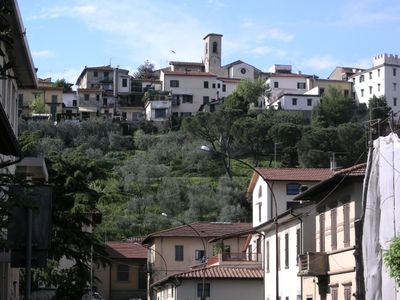
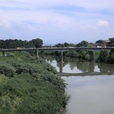
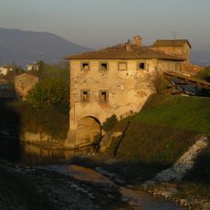
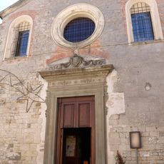
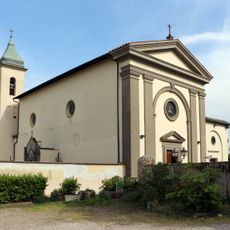
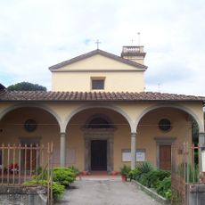
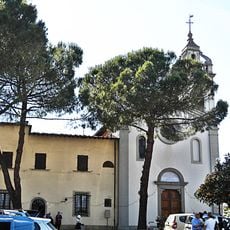
Signa is a small town near Florence that sits on a hill above the Arno river. It is centered around a medieval castle with stone walls and towers surrounded by narrow streets and houses, with remains of 14th-century fortifications still visible.
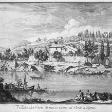
The castle of Signa dates from around the year 1000 and forms the oldest part of the town. City walls were built in the 14th century to protect the town during conflicts in the region.
The name Signa connects to the historic Arno river crossing that shaped the town for centuries. Locals keep traditions alive through festivals and crafts passed down through families across generations.
The narrow streets and steep slopes require comfortable shoes and careful footing. The place is mostly quiet and visited mainly by locals and history enthusiasts, so taking your time to explore works best.
The town was long known for making straw hats, a craft that made it famous worldwide. This simple trade is still remembered by residents today and shapes the local identity.
The community of curious travelers
AroundUs brings together thousands of curated places, local tips, and hidden gems, enriched daily by 60,000 contributors worldwide.